Main navigation

  • Hikes
    • Appalachian Trail 2017
    • Pacific Crest Trail 2019
    • Continental Divide Trail 2021
    • Benton MacKaye Trail 2020
    • Art Loeb Trail 2021
    • Pinhoti Trail 2022
    • Foothills and Bartram Trails 2022
    • Appalachian High Route 2023-24
    • Arizona Trail 2024
    • Long Trail 2025
  • About
    • Gravity
    • My Trail Name
    • My Triple Crown Hikes
    • This Site
    • The Appalachian Trail
    • The Pacific Crest Trail
    • The Continental Divide Trail
    • The Benton MacKaye Trail
  • Gear
    • Hiking
    • Shelter and Sleep System
    • Clothing and Shoes
    • Cooking and Water Filtration
    • First Aid, Hygiene, Miscellaneous
    • Electronics
  • Contact
  • Newsletter
Hike with Gravity Home
Arizona Trail

Arizona Trail 2024

Arizona Trail
Start
September 25
End
November 19
Miles
794.6

The AZT runs north to south (or south to north) through the center of the state. I hiked it southbound.

Page 1

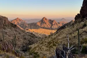
A view of mesas in Arizona

Prologue

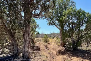
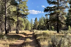
A path through trees on the Arizona Trail
Day 1

Northern Terminus to Old Arizona Road

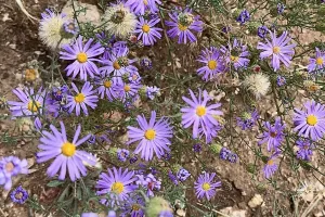
Hoary tansyaster
Day 2

Old Arizona Road to Jacob Lake

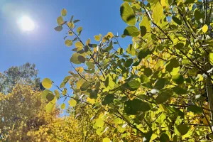
The sun shines above some aspen trees
Day 3

Jacob Lake to Stealth Site at Mile 41.7

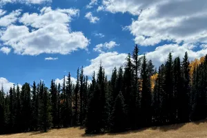
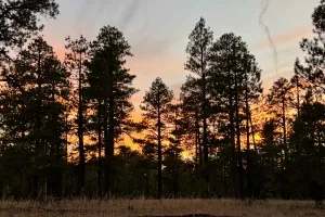
Pine trees and clouds
Day 4

Stealth Site at Mile 41.7 to Grand Canyon East Rim

The sun shines low through trees
Day 5

Grand Canyon East Rim to Grand Canyon North Rim

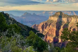
A view of the Grand Canyon from the North Rim
Day 6

Grand Canyon North Rim to Bright Angel Campground

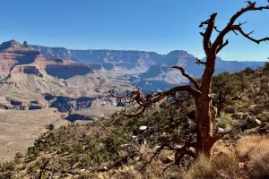
A view of the Grand Canyon near the South Rim
Day 7

Bright Angel Campground to Grand Canyon South Rim

The Arizona Trail near Tusayan
Day 8

Grand Canyon South Rim to Baaj Nwaavjo I’tah Kukveni

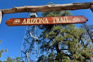
A sign for the Arizona Trail at Grandview Lookout Tower
Day 9

Baaj Nwaavjo I’tah Kukveni to Coconino Rim Road

Grass is burning in Arizona
Day 10

Coconino Rim Road to Babbitt Ranch Passage

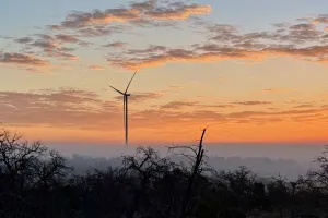
A view of a windmill at sunrise
Day 11

Babbitt Ranch Passage to F.S. Road 417

Gallon jugs of water in a metal box
Day 12

F.S. Road 417 to near Walker Lake Peak

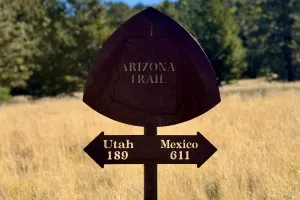
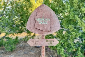
A metal signs points to the souther and northern ends of the Arizona Trail
Day 13

near Walker Lake Peak to Fort Valley Experimental Forest

Gravity wearing glasses
Days 14-15

Fort Valley Experimental Forest to Flagstaff

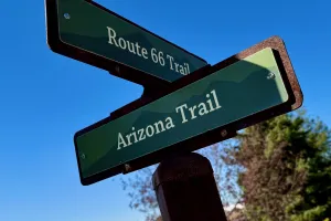
Signs identify two trails in Flagstaff
Day 16

Flagstaff to Lakeview Campground

A sign points north and south on the Arizona Trail
Day 17

Lakeview Campground to Double Springs Campground

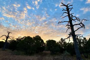
Sunset in Arizona
Day 18

Double Springs Campground to Maxie Tank

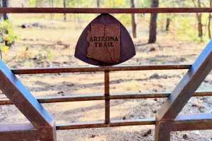
A rusty steel gate on the Arizona Trail
Day 19

Maxie Tank to Foot in Tree Tank

Sunrise on the Arizona Trail
Day 20

Foot in Tree Tank to Battleground Ridge

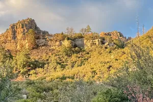
Fading sunlight hits cliffs of the Mongollon Rim
Day 21

Battleground Ridge to Geronimo Spring

An Arizona Trail marker nailed to a tree
Day 22

Geronimo Spring to Pine

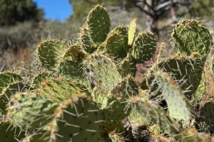
Prickly pear cactus
Day 23

Pine to Whiterock Mesa

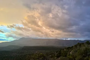
Clouds over North Peak in the Mazatzal Wilderness
Day 24

Whiterock Mesa to Red Hills

Pagination

  • Page 1
  • Page 2
  • Next page >
  • Last page >|
Footer

  • Hikes
  • About
  • Gear
  • Contact
  • Newsletter

Social

  • Instagram
  • Facebook
  • Bluesky
  • Mastodon
  • Threads
  • RSS
Hike with Gravity

Copyright 2017 - 2026 by Jim "Gravity" Smith - CC BY-NC 4.0

Unless otherwise noted, all content on this site was created by Jim Smith.

This site was designed and built by Starting Gravity using the open-source project Drupal.