Hike with Gravity Home Page

Main navigation

  • Hikes
    • Appalachian Trail 2017
    • Pacific Crest Trail 2019
    • Continental Divide Trail 2021
    • Benton MacKaye Trail 2020
    • Art Loeb Trail 2021
    • Pinhoti Trail 2022
    • Foothills and Bartram Trails 2022
    • Appalachian High Route 2023-24
    • Arizona Trail 2024
  • About
    • Gravity
    • My Trail Name
    • My Triple Crown Hikes
    • This Site
    • The Appalachian Trail
    • The Pacific Crest Trail
    • The Continental Divide Trail
    • The Benton MacKaye Trail
  • Gear
    • Hiking
    • Shelter and Sleep System
    • Clothing and Shoes
    • Cooking and Water Filtration
    • First Aid, Hygiene, Miscellaneous
    • Electronics
  • Contact
  • Newsletter
A view from a mountain slope

Appalachian High Route 2023-2024

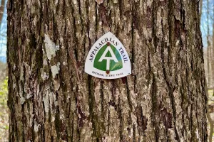
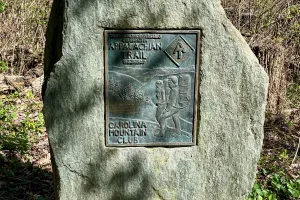
The Appalachian High Route isn't a true trail. It's a string of trails connected to make a loop. Sections of the Appalachian Trail and the Mountains-to-Sea Trail create most of the route, with connectors in and out of Burnsville, N.C.

I began hiking the AHR in the spring of 2023 and was soon joined by my friend Polecat. We hiked most of the route before stopping because of weather and other circumstances. I completed the remaining miles alone in late March 2024.

Page 1

Day 1, Burnsville to Devils Creek Gap

A blind curve on Jacks Creek Road

Day 2, Devils Creek Gap to Piped Spring at Low Gap

AT painted on a rock

Day 3, Piped Spring at Low Gap to Shelton Gravesite

The Appalachian Trail in fog

Day 4, Shelton Gravesite to near Log Cabin Road

A white blaze on the Applachian Trail

Day 5, near Log Cabin Road to Hot Springs

An Appalachian Trail emblem nailed to a tree

Day 6, Hot Springs to Lemon Prong

A bronze plaque mounted to a large boulder on the AT

Day 7, Lemon Prong to Painter Branch

Polecat descending a switchback

Day 8, Painter Branch to Cosby Knob Shelter

A sign pointing to Cosby Knob Shelter

Day 9, Clingman’s Dome to Poke Patch Campsite

Creeping phlox

Day 10, Poke Patch Campsite to Newton Bald Campsite

Deep Creek

Day 11, Newton Bald Campsite to Cherokee

Polecat walks through Cherokee, N.C.

Day 12, Cherokee to Soco Creek

Polecat walks on a gravel road

Day 13, Soco Creek to Balsam Gap/Moonshine Creek Campground

Blue Ridge Parkway

Day 14, Balsam Gap/Moonshine Creek Campground to Lone Bald

Flowers on budding trees and shrubs

Day 15, Lone Bald to Fork Ridge

A sign on the Mountains-to-Sea Trail points two directions

Day 16, Fork Ridge to Yellowstone Prong

Violet toothed polypore

Day 17, Yellowstone Prong to Pigeon Gap

Flowering azalea

Day 18, Fork Ridge Trail to Icewater Spring Shelter

Polecat walks in the Smokies

Social

  • Follow:
  • Instagram
  • Facebook
  • Bluesky
  • Mastodon
  • Threads
  • RSS

Footer

  • Hikes
  • About
  • Gear
  • Contact
  • Newsletter
Hike with Gravity

Copyright 2017 - 2025 by Jim "Gravity" Smith

Creative Commons

Unless otherwise noted, all content on this site was created by Jim Smith and is licensed under a Creative Commons Attribution-NonCommercial 4.0 International License.

This site was designed and built by Starting Gravity using the open-source project Drupal.