Hike with Gravity Home Page

Main navigation

  • Hikes
    • Appalachian Trail 2017
    • Pacific Crest Trail 2019
    • Continental Divide Trail 2021
    • Benton MacKaye Trail 2020
    • Art Loeb Trail 2021
    • Pinhoti Trail 2022
    • Foothills and Bartram Trails 2022
    • Appalachian High Route 2023-24
    • Arizona Trail 2024
    • Long Trail 2025
  • About
    • Gravity
    • My Trail Name
    • My Triple Crown Hikes
    • This Site
    • The Appalachian Trail
    • The Pacific Crest Trail
    • The Continental Divide Trail
    • The Benton MacKaye Trail
  • Gear
    • Hiking
    • Shelter and Sleep System
    • Clothing and Shoes
    • Cooking and Water Filtration
    • First Aid, Hygiene, Miscellaneous
    • Electronics
  • Contact
  • Newsletter
Pacific Crest Trail

Pacific Crest Trail 2019

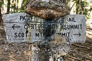
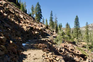
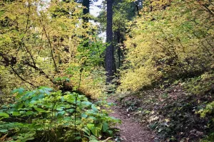
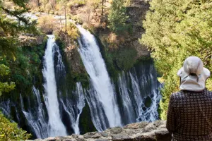
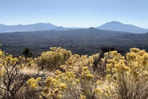
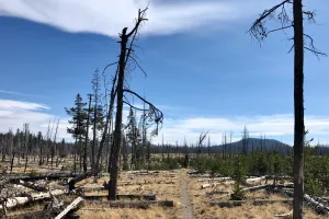
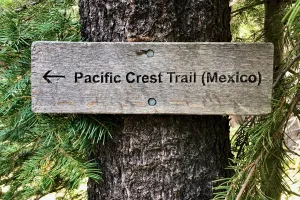
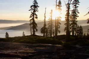
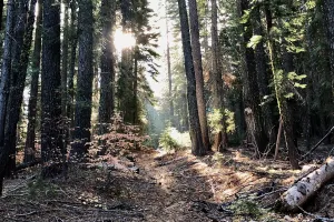
I started my PCT thru-hike at the southern terminus on March 24, 2019. Although I needed to take a long break because of unusually heavy snow in the Sierra Nevada, I completed the entire trail and finished on October 25.

Page 7

Day 146, Grouse Gap to Donomore Cabin

A tree branch bending under the weight of snow

Day 147, Donomore Cabin to Seiad Creek Road

Sunlight filtering through clouds

Day 148, Seiad Creek Road to Seiad Valley

A view at dawn

Day 149, Seiad Valley to Buckhorn Spring

A PCT marker

Day 150, Buckhorn Spring to Shelly Meadows

Trees silhouetted in sunlight and fog

Day 151, Shelly Meadows to Etna

Morning clouds in Marble Mountains Wilderness

Day 152, Etna to South Fork Scott River

Bluejay on the Salmon Mountains

Day 153, South Fork Scott River to Tentsite at Mile 1555.9

A tree is growing around a trail sign

Day 154, Tentsite at Mile 1555.9 to Porcupine Lake

A climbing section of the PCT

Day 155, Porcupine Lake to East Fork Sulphur Creek

The sky at dawn near Porcupine Lake

Day 156, East Fork Sulphur Creek to Dunsmuir

The PCT climbs through a forest

Day 157, Dunsmuir to Dirt Road at Mile 1479.3

The PCT through trees with fall colors

Day 158, Dirt Road at Mile 1479.3 to Gold Creek

McCloud River

Day 159, Gold Creek to Peavine Creek

Scarlet maple leaves

Day 160, Peavine Creek to Burney

Bluejay at Burney Falls

Day 161, Burney to Cache 22

Golden rod and sage near Hat Creek Rim

Day 162, Cache 22 to Old Station

A sign says 'Trail Angel Parking, others sent below'

Day 163, Old Station to Warner Valley Campground

A burnt section of trail in Lassen Volcanic National Park

Day 164, Warner Valley Campground to Chester

A sign on the PCT points the direction to Mexico

Day 165, Chester to Tentsite at Mile 1315.5

A volcanic rock outcropping

Day 166, Tentsite at Mile 1315.5 to Willams Cabin Site

Water beaded on a leaf

Day 167, Williams Cabin Site to Tentsite at Mile 1274.8

Clouds and manzanita

Day 168, Tentsite at Mile 1274.8 to Middle Fork Feather River

Sunrise on the PCT in Plumas National Forest

Day 169, Middle Fork Feather River to West Branch Nelson Creek

Sun filters through trees on the PCT

Pagination

  • First page |<
  • Previous page <
  • …
  • Page 3
  • Page 4
  • Page 5
  • Page 6
  • Current page 7
  • Page 8
  • Next page >
  • Last page >|

Social

  • Follow:
  • Instagram
  • Facebook
  • Bluesky
  • Mastodon
  • Threads
  • RSS

Footer

  • Hikes
  • About
  • Gear
  • Contact
  • Newsletter
Hike with Gravity

Copyright 2017 - 2026 by Jim "Gravity" Smith

Creative Commons

Unless otherwise noted, all content on this site was created by Jim Smith and is licensed under a Creative Commons Attribution-NonCommercial 4.0 International License.

This site was designed and built by Starting Gravity using the open-source project Drupal.