
Day 167 Williams Cabin Site to Tentsite at Mile 1274.8
More from this trailCaught in slow motion in a dash to the door
I spent more time last night reassessing my hike plan, and as I did, my heart sank. I had wanted to resupply without taking too much time off the trail. There just didn't seem to be a good way to pull it off.
I would be passing through Belden in the morning. A small resort was located there, and it had a small store.
Based on comments posted on Guthooks, though, it didn't look like a good place to buy several days of food. Only a few commenters mentioned resupplying there, and most were negative.
All other options required leaving the trail. Of these, the town of Quincy seemed the best, though it was hardly ideal. This option would be best for the quality of the resupply because it had a large grocery store. The town was far off the trail, however, and hitchhiking to get there was said to be difficult.
The logistics of getting in and out of Quincy were complicated. I feared I would waste valuable time, but I didn't see any way around it. As it looked now, I wouldn't be able to get to Truckee until Saturday, not Friday as I had hoped.
The road into Quincy was too far to reach in one day, especially because a huge climb was involved in getting there.
I decided to sleep in a little this morning. It seemed I would have some spare time, so I figured I might as well use some of it today instead of in Quincy tomorrow.
Either way, this seemed like wasted time when I would rather be putting in miles to reach Truckee sooner. At least by sleeping in an extra 30 minutes, I could get back a little of the energy drained out of me by yesterday's weather.

Morning sun at Chips Creek Canyon
I left camp a little after 7 a.m. The sun was almost up by then. Once it rose over the mountains, the temperature quickly warmed.
After I had walked a mile, the trail left Lassen National Forest and entered Plumas National Forest.

Snow on a ridge
The trail continued a long descent down a canyon formed by Chips Creek. I started going down this canyon yesterday, with the first 7.9 miles taking me to my campsite. That was a drop of nearly 3,500 feet.
Today, the trail would descend another 1,400 feet.
Across the canyon, I could see snow at higher elevations. This must have been remnants of the snow that fell on me yesterday morning.

A view of the North Fork of the Feather River
The North Fork of the Feather River came into view when I got closer to the bottom. The river is the largest tributary of the Feather River. For years, it has been used for hydroelectricity generation.
There are five dams on the river. One of these impounds Lake Almanor, which I saw two days ago as I climbed from the road out of Chester.
On the way down to the river, I met two northbound thru-hikers. Josh and Jess had recently finished the Sierra after already hiking all but what they were finishing now.
I asked them if they thought it would be possible to resupply at the Benton Town store. They were convinced this could be done.
This was a game-changer for me. Suddenly, I realized I wouldn't need to go into Quincy or one of the other two off-trail options to resupply. I could buy in Belden what I needed for the rest of my hike.
The information from Josh and Jess instantly changed my plans and my mood. My chances of making it to Truckee on Friday, the day Kim would arrive to meet me, had significantly improved.

A footbridge over Indian Creek
The trail turned away from the river for a short distance. It then crossed a footbridge over Indian Creek, which fed into the river.
From there, the trail returned back to follow the river. I began to see a few day hikers here who were enjoying a warm Sunday morning.

Eby Stamp Mill
The trail then followed California Highway 70. This stretch of the road through the canyon was also called the Feather River Scenic Byway.
I soon passed Eby Stamp Mill, a large machine used for extracting gold from ore. The stamp mill pulverized the rock, which was then amalgamated with mercury in another mill. After that, the resulting mixture was heated to vaporize the mercury, leaving behind concentrated gold.
The mill was moved to this spot by the utility company PG&E in 1969. It is the only mill remaining in this area from the Gold Rush era.

A single open lane on California Highway 70
A construction project was underway on the highway, and that was a problem for hikers because the road had been closed to only one narrow lane. The road wasn't wide enough to provide a safe and separate walking path.
A timed stoplight system was being used to limit cars to go in one direction at a time. To allow hikers to walk on the road, a button was provided. When I pushed it, red lights stopped cars in both directions.
It felt odd to make drivers wait for me as I walked the tenth-of-a-mile distance.
When I reached the end of the construction zone, the trail turned and crossed a steel bridge. It was constructed in 1913 as a railroad bridge and was converted for automobile use in 1937.

Walking into Belden Town Resort
When I crossed the bridge, this was the second time I had crossed the North Fork of the Feather River. The first time was three days ago.
From there, the trail turned to Belden Town Resort. It wasn't so much a town as it was a scattering of tourist cabins. A large, center building was where I found the resort's restaurant and store.

Terminator and Sideways
When I walked in, I met two northbound hikers, Terminator and Sideways. They had already ordered meals but hadn't yet been served. They warned me that the service was slow.
After waiting several minutes while the waitress talked on the phone, I got up and looked around to see if someone else could help me. I found someone in the kitchen, but she told me the waitress needed to help me.
I hoped to order breakfast, but the menu said breakfast orders ended at 11 a.m. By now, the time was after that. When the waitress finally got off the phone and was ready to take my order, I asked her if I could still order breakfast. She said she would need to check with the kitchen. Now she was really testing my patience, but fortunately, her answer was yes.
There was plenty of time for me to shop for my resupply while my meal was being prepared. The slow service wasn't just from the waitress but also the kitchen.
At least I was able to purchase enough food to get me to Truckee. I just had to be creative in my selections and not be picky about expiration dates.
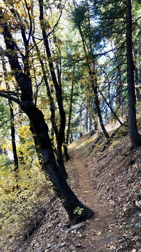
A switchback on the climb in Bucks Lake Wilderness
Because of the slow service, I didn't leave Belden until 1 p.m. That was an irritatingly long time when I had hoped to save time by stopping there.
My exasperation didn't last for long, however. The trail took care of that. Right after leaving Belden, I began a 4,100-foot climb.
The trail soon entered Bucks Lake Wilderness and began a series of several switchbacks. On the climb, I passed a couple of hunters and a NOBO hiker.

A view of Chips Creek Canyon
After walking for about two hours, I found myself well above the Feather River and Belden. Ridges on the other side of the river came into view, as did the canyon I had followed to get down to Belden this morning.
Today had become a gorgeous day and perfect for seeing these views. Yesterday's rain had helped to clear some of the smoky haze from the sky.

The trail enters a thicket of manzanita
After climbing about four miles, the trail popped out of the woods and into a mountaintop filled with manzanita. The area may have been a thick forest at one time. I'm guessing there were no trees here now because this part of California saw heavy logging around the same time as the Gold Rush. After that, I think, the manzanita took over.

A view of the North Fork of the Feather River
The open space at this elevation gave a wider view of the surrounding mountains. I could see far down the canyon carved by the Feather River.
Canyon View Spring was located just off the trail, and I stopped there to filter some water.

Manzanita, rocks, and clouds
I took several photos while walking along the ridge and around Three Lakes Summit.
The trail was still climbing, but the rest of the way to my campsite wasn't nearly as steep.

A smooth trail through manzanita
The trail remained smooth and easy. It continued across the manzanita-covered ridge, then entered a forest as it went past the three lakes that gave the mountain top its name.

Setting sun through trees
The trail passed Mount Pleasant, but by now, the sun had set and I was wearing my headlamp to see. I continued walking about 45 minutes past sunset before I found a good place to camp. The time was 7:15 p.m. when I stopped.
In one sense, this had been a frustrating day. I felt like I wasted valuable time. I could have hiked three or four more miles if I hadn't been waiting for my meal in Belden Town.
I knew it was my last Sunday on the trail, but I didn't yet know how much the delay hurt me. I didn't know if I could finish on Friday or Saturday.
Then after I crawled into my tent, I took another look in the Guthooks app at the trail ahead. The distance remaining to Truckee was now 117 miles.
Getting there in five days would require hiking an average of more than 23 miles each day. This seemed crazy. I had never walked that many miles for that many days straight.
Yet somehow, it seemed completely doable.
Long-distance runner, what you holding out for
Caught in slow motion in a dash to the door
The flame from your stage has now spread to the floor
You gave all you had, why you want to give more?
The more that you give, the more it will take
To the thin line beyond which you really can't fake
This trail report was published