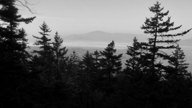
View from Moxie Bald Mountain

And I wished for so long; cannot stay

Day 168, Bald Mountain Brook Lean-to to Horseshoe Canyon Lean-to

Monday, September 25, 2017

Northbound Appalachian Trail thru-hikers who are nearing Mt. Katahdin can be classified in two groups. The closer they get to Katadin, it's more obvious which group they are in.

Hikers of one group want to finish as soon as possible. It’s been a long hike, and by now they are feeling worn out. They are ready to do something else that doesn’t involve walking for 10-12 hours a day.

Hikers in the other group don’t want their hike to end. They are slowing down to stretch out the experience as long as possible.
Weather Mostly sunny to partly cloudy, humid with a high temperature in the mid 80s
Trail Conditions Moderately easy climb and descent of one mountain, some rocky sections
Today's Miles 13.0 miles
Trip Miles 2,047.1 miles

So which group am I in? I confess that on most days, I’m in the first group. That’s not to say I’m no longer enjoying my hike. In fact, I think I’m enjoying Maine more than any other part of the trail.

Still, it’s a long hike and I’m ready for it to end.

That feeling included today. I enjoyed it, but it was one of the more difficult days since I entered this state. By the end of the day, I was glad to stop.

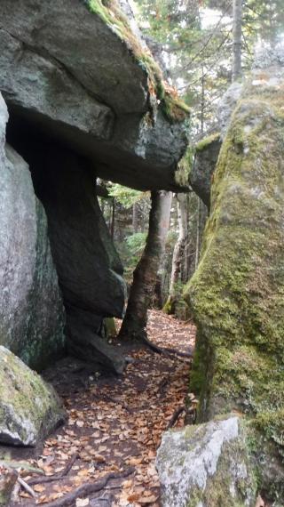
Bouder cave

Because the days are shorter, we are trying to wake up earlier and start hiking earlier. Today we were moving around by 5 a.m. and on the trail shortly after 6:30.

Right after leaving Bald Mountain Brook Lean-to, the trail began ascending Bald Mountain. On the way up, I passed some giant rock slabs stacked as a house of cards. They created a series of small caves.

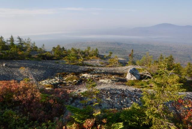
View from Moxie Bald Mountain

The climb up the mountain was hot, and though I reached the top before 8 a.m. I was already sweating.

While I was at the top I discovered I could receive cell service. I spent some time checking messages and updating podcasts while drinking a lot of water and trying to cool down.

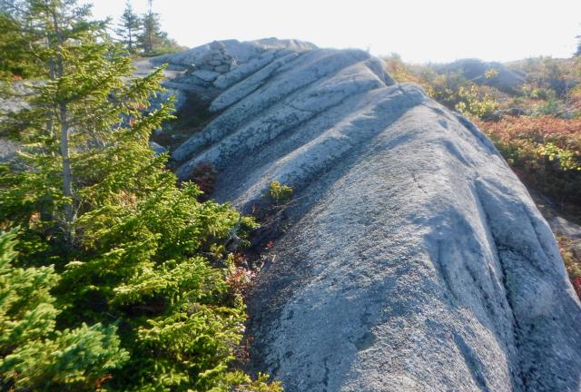
Rock ridge on Moxie Bald Mountain

The top of Bald Mountain was mostly bare rock. This was because of a fierce forest fire in the early 1900s that denuded the top.

A lot of Maine residents refer to the mountain as Moxie Bald Mountain. The added name comes from a popular soft drink. It is so popular that it was designated as the official state soft drink in 2005.

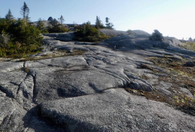
Rocks on Moxie Bald Mountain

Walking across the mountain top was easy because of the bare rock. Although views could be seen from here, humidity made the sky hazy, which obscured the distant mountains.

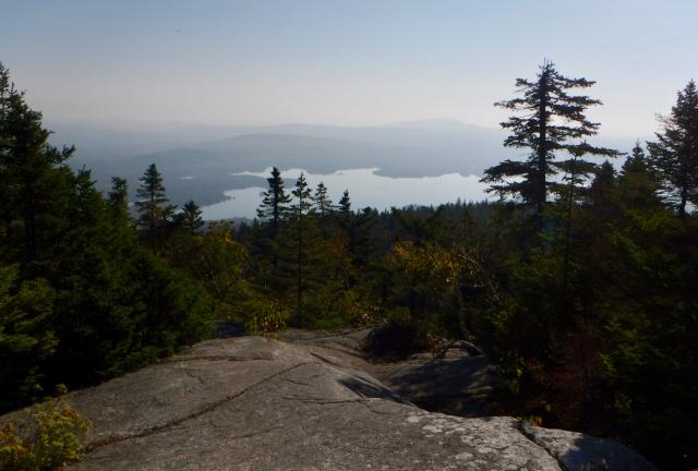
View from Moxie Bald Mountain

The haze didn’t completely obscure a view of Moxie Pond on one side of the mountain and Bald Mountain Pond on the other.

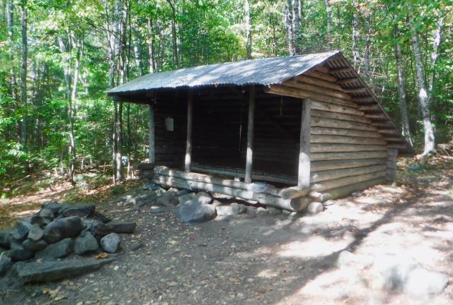
Bald Mountain Pond Lean-to

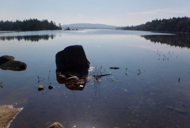
By 10:30, I had reached Bald Mountain Pond Lean-to, which was located near the shore of the pond. I walked down to the pond to refill my water bottles. In a hot day like today, I knew I would need to make frequent stops for water.

Bald Mountain Pond

As I’ve noted before, ponds in the Northeast are often as large as lakes. Bald Mountain Pond covers 1,200 acres.

The difference between a pond and a lake has nothing to do with the number of acres it covers. The difference is the depth of the water.

Lakes are deep enough to have an aphotic zone. That is, they are so deep that little or no sunlight can penetrate to the bottom. Ponds only have a photic zone and therefore are not as deep as lakes.

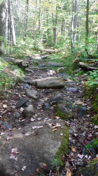
Rocky trail

The trail followed the shore of the pond, then veered away to take a rock-strewn route.

I looked for a spot to stop for lunch. Fallen logs are always nice to find for a place to sit in these situations, but I didn’t see any. Eventually, I just settled for a clear spot that was in shade.

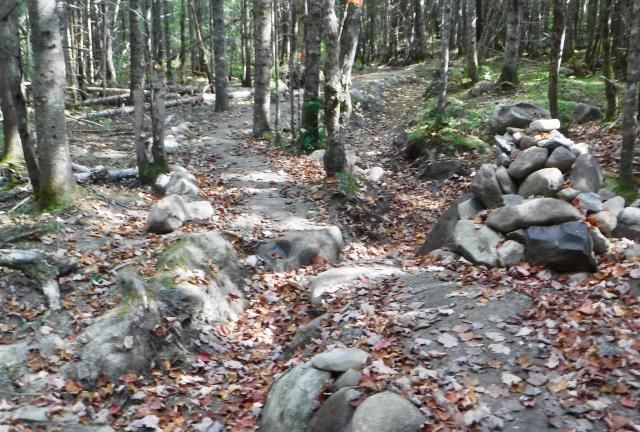
Maintained trail

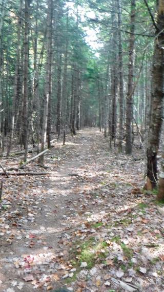
Then a mile or so later I saw something I had not seen on the trail in a long time. It appeared that trail maintainers had made special effort to smooth out the trail. Rocks were moved to the side to make a smoother footpath. Additionally, a drainage ditch appeared to be cleared for better water management in heavy rain.

Flat trail

I found the trail much easier to walk over this section. Later, the trail became even easier to walk when it became flat and smooth.

Bald Mountain Stream

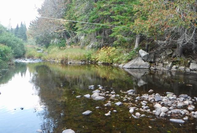
By 2:30 p.m. I reached a spot where the trail crossed Bald Mountain Stream. The Guthooks app I use to navigate warned this stream flows swiftly and cautioned hikers to “be very careful when crossing."

A cable was stretched across the stream. It was intended for hikers to hold onto while crossing, but it was strung so high I wasn’t sure how many hikers would find it useful. As it was, the cable wasn’t needed. I found there was no problem to hop across on rocks.

Later, the trail crossed the west branch of the Piscataquis River. Again, this was said to be a challenging water crossing, but the water flow was so low that wasn’t the case today.

I stopped here because I needed to cool down. The day was moving into late afternoon, but the temperature remained in the mid 80s.

I arrived at Horseshoe Canyon Lean-to just before 5 p.m. When we set off this morning we agreed to stop here to discuss our options. We weren’t sure if we would stay here or if we would go farther and get closer to Monson.

By the time I arrived I was feeling sorry for myself. I felt I was walking sluggishly today and feared I was holding up Stick and Tengo. I apologized to them, but Stick told me they had arrived only five minutes before me.

After a brief discussion we decided to stay here.

A flip-flop hiker also staying here named Hazmat mentioned he had passed a hiker who fell near Monson and broke her wrist. He said he thought her name was Skittles. If true, this was heartbreaking news.

Mosquitoes were bothersome tonight, one of the few times they’ve been a problem on the trail. They were a good excuse to go to bed early.

We now only have nine miles to go to reach Monson, which is the last town before the 100 Mile Wilderness and Mt. Katahdin.

In all of the days to this point that I have been on the trail, there have only been two when I questioned why I was still hiking. The first was my second day on the trail after taking a week off. That feeling didn’t last long. I soon became enthralled as I crossed Max Patch with rain blowing sideways.

I wouldn’t question my desire to complete this hike for another 126 days. Then after a difficult descent from Mt. Washington to Madison Spring Hut, I wanted to quit. That feeling only lasted about 20 minutes.

I’ve dreamed of doing this hike for many years. Except for those two brief, bad moments, I never wanted it to end before I had reached the end.

Now that I’m nearly done, I’m ready for to be done. It’s a bittersweet feeling.

And I wished for so long
Cannot stay
All the precious moments
Cannot stay
It's not like wings have fallen
Cannot say
But without you something's missing
Cannot say

This trail report was published on