West Carry Pond

Strategy was his strength, and not disaster

Day 166, West Carry Pond Lean-to Caratunk

Saturday, September 23, 2017

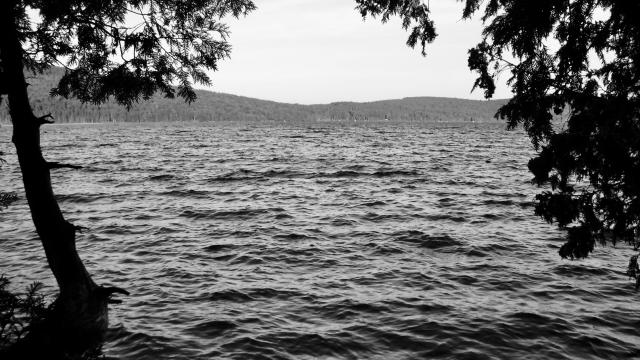
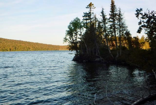
Until you know how it got its name, West Carry Pond may seem unusual for a body of water. And yes, there is also an East Carry Pond. There’s also a Middle Carry Pond.

The ponds were part of a portage route used by Native Americans as they traveled between the Maine coast and the St. Lawrence River. They called it the Great Carrying Place, and it allowed them to avoid dangerous rapids on the Kennebec River.

Weather Mostly sunny, with a high temperature in the mid 70s
Trail Conditions Sometimes beautifully flat, sometimes many rocks and roots
Today's Miles 14.0 miles
Trip Miles 2,019.4 miles

A name you may be more familiar with is Benedict Arnold. Although his name is infamous today because of a treasonous act against his country, when he stood on the shore of this pond in 1775, early in the American Revolutionary War, he was considered a rising star of the Continental Army.

Col. Arnold and another colonel with a familiar name, Ethan Allen, had successfully captured Fort Ticonderoga on Lake Champlain in New York. They followed this victory by proposing a plan to capture Quebec City in British-held Canada. Their hope was to convince French-speaking Canadians to join the fight against the British.

After first being turned down, Arnold eventually convinced the Continental Congress to support the mission. He assembled 1,100 troops and headed north through Massachusetts and Maine.

The march became more and more difficult as it followed the same 13-mile section the Appalachian Trail follows today. Arnold and his men encountered heavy rain, poor water quality, and dismal food. That may sound like a typical thru-hike, but for the soldiers in 1775 it was disastrous.

To make matters worse, letters written to report back to Gen. George Washington were intercepted by the British, tipping them off to the Americans' plans.

When Arnold's troops reached Canada, their numbers had dwindled to about 600 men, but they were joined by forces led by Richard Montgomery. The troops were ill-equipped and lacked the element of surprise. In the attack on Quebec and again later in Montreal, hundreds of Americans were killed and wounded. Many were captured, including Ethan Allen. The remaining men were forced to return to friendlier ground.

Arnold continued to serve with distinction until he became disgruntled about being passed over for a promotion and he betrayed his country.
Arnold Point

My day began with a silly mistake. When I saw a hiker named Capt. Whiskers walking ahead of me, I absentmindedly followed him. Instead of turning right where the trail turned right, he turned left and I followed him. We continued on an unmaintained trail on a sliver of land called Arnold Point.

Before long, I realized our mistake and shouted ahead to him to turn around. He apologized for leading me astray, but I said I should have also seen the turn.

The Carrying Place

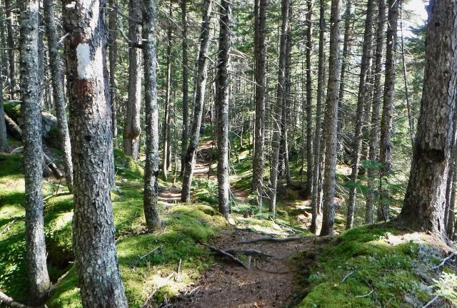
Once I was walking on the correct trail it was mostly flat, and I was able to make up some of the lost time.

Boardwalk across a bog

Later, the trail crossed a large bog. A boardwalk that appeared to be recently repaired made walking here easy.

East Carry Pond

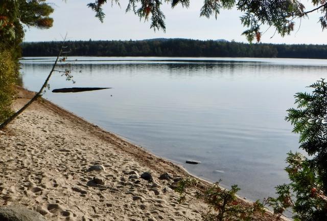
East Carry Pond was another large pond. The trail passed a sandy beach, which I’m sure is popular with hikers. No one was stopped here when I passed by, which was before 8:30 a.m.

Stick walking on Pierce Pond Dam

By the time I reached Pierce Pond at 11:00 I had caught up to Stick and Tengo. We stopped at the shelter located at the pond, then continued together.

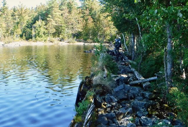
The trail was tricky to walk as it crossed a log and rock dam at the outlet of the pond.

Trail heading to Kennebec River

We were in a hurry because we needed to get to the Kennebec River before 2 p.m. That’s when a canoe ferry for hikers stops running. It’s not safe for hikers to cross after that time because rushing water from a daily dam release arrives soon afterwards where the trail crosses the river.

Though we thought we had enough time to make it to the river, the trail got rougher. It was almost like a mini rollercoaster with lots of small ups and downs.

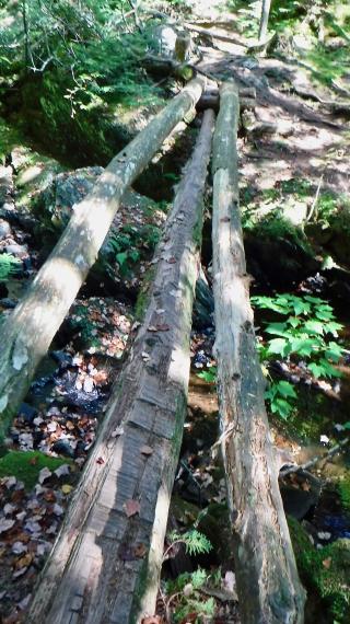
Logs used as a footbridge

There was also a footbridge made of three uneven logs, which made crossing it a balancing act.

Kennebec River

We made it to the river with 20 minutes to spare. Tengo got there first, so he got the first ride across.

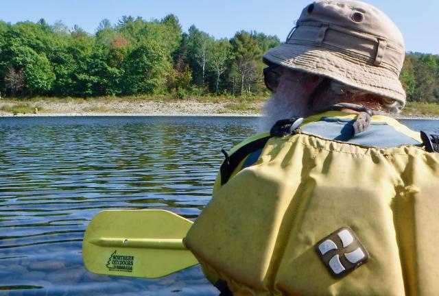
Stick paddling across the Kennebec River

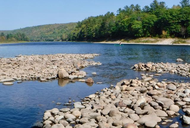
Stick and I had to wait for the ferry to return before we could cross. The river is 400 feet wide here and there is no bridge available up or down the river for a long distance, so the ferry is the only safe way to cross.

River guide

The Appalachian Trail Conservancy contracts with a guide service to provide the canoe ferry.

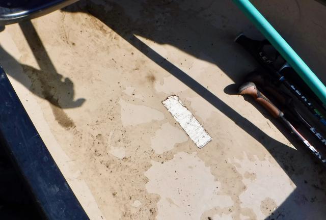
White blaze in the canoe bottom

A white blaze is painted on the bottom of the canoe, signifying that this is part of the official route of the trail.

Once we got on the other side, we weren’t sure what we wanted to do about resupplying and a place to stay. Our ferryman, Craig, suggested the B&B just up ahead in Caratunk.

Arriving at Caratunk House B&B

Caratunk House B&B was on a side street near the main road. We didn't have to walk far to reach it.

On the way there, the owner was just leaving to take Capt. Whiskers and another hiker named Dr. Gomo to town. He said he’d be back soon, so we walked to the house and waited on the porch.

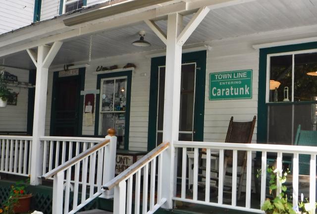
Porch of Caratunk House B&B

We could tell right away this place was extra special. It was a true bed and breakfast, not a hiker hostel. Once the owner, One Braid (Paul Fuller), returned, he gave a tour. He had restored the house himself after completing a thru-hike of the AT and some other long distance hikes.

Caratunk House B&B bedroom

I elected to stay in a single room. It was beautifully decorated with antique furnishings. In fact, it was so nice I hated bringing my dirty self and gear into the room.

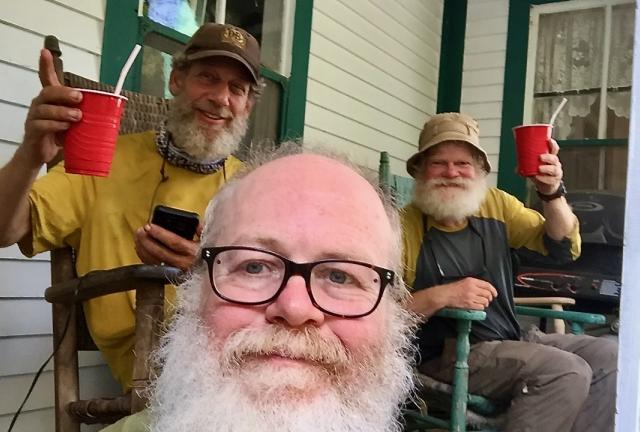
Tengo, Gravity and Stick drinking milkshakes

The first order of business before getting cleaned up, though, was strawberry milkshakes. Paul made them for us using one of those Hamilton Beach milkshake mixers you see in authentic ice cream parlors.

We drank ours on the porch. When I accidentally spilled some of mine, I went back to Paul to ask for a towel or something to clean it up. He not only brushed off my apology, he made me another milkshake to make up for what I spilled.

After taking a shower, I chatted with the other hikers staying here, Capt. Whiskers, Dr. Gomo and Indiana Jane.

Indiana Jane is not from Indiana and her real name isn’t Jane. Her trail name has to do with an Indiana Jones stage show she and her family saw at a theme park.

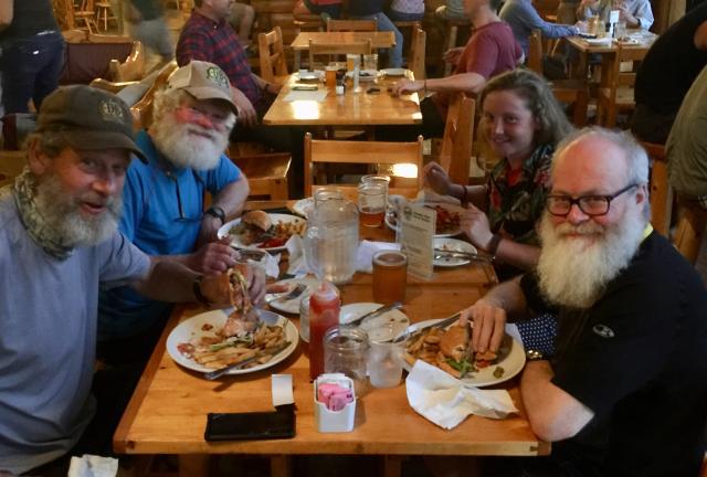
Tengo, Stick, Indiana Jane and Gravity at Kennebec Brewery

When it was time for dinner, Paul took Tengo, Stick, Indiana Jane and me up the road to Kennebec Brewery.

Later, after Paul picked us up, we were able to resupply at his B&B. He had a shop set up in the back with nearly all of the kinds of food thru-hikers want. Being one himself, he had no problem knowing what to stock.

I didn’t need to buy a lot because I still had some food left over from our stay in Stratton.

The next resupply stop will be in Monson, just three days away. That’s the last stop before the 100 Mile Wilderness and Mt. Katahdin.

The end is coming into view.

Which of you to gain me, tell, will risk uncertain pains of hell?
I will not forgive you if you will not take the chance
The sailor gave at least a try; the soldier, being much too wise,
Strategy was his strength, and not disaster

This trail report was published on