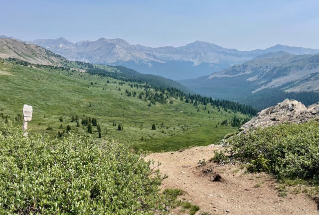
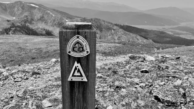
A post with emblems of the CDT and CT marks the trail

A rebel without a clue

Day 90, Texas Creek to Mineral Basin

Sunday, July 11, 2021

Blue was ready to go early this morning when OldTimer, Top O', and I were still packing. That wasn't a surprise. He needed an early start if he wanted to complete the Colorado Trail in just 20 days.

I said goodbye and good luck before he left. At his pace, it seemed unlikely I would see him again on this trail.

Weather Partly cloudy/hazy, temperatures from the low-40s to mid-70s
Trail Conditions Long climbs and descents on a well-maintained trail
Today's Miles 13.3 miles
Trip Miles 1,238.0 miles

After running into Blue yesterday, I began to wonder if I might meet more hikers that I knew from other trails. Besides seeing him yesterday, this has already happened a few other times. Most notable was the day before I started hiking when I met Thirteen.

Meeting at least one more friend from another trail seemed bound to happen.

The CDT and CT near Texas Creek

OT, Top O', and I left our campsite at 6:30 a.m. For at least a few more miles, there would be no chance of another near collision with a dirt bike.

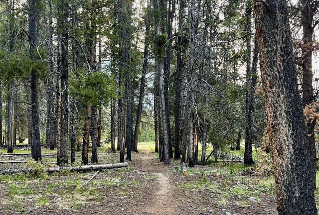
The route along Texas Creek was flat for the first mile before it began to roll over a series of short hillocks. Most of the trees were blackened at their base and there wasn't a lot of vegetation around the trees. There must have been a fire here in recent years, though the damage didn't look severe.

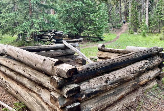
Ruins of two small cabins near Texas Creek

While crossing these short hills, I came upon the ruins of a couple of log cabins. It wasn't apparent how they had been used, but based on others I'd seen recently, I guessed they were part of a mining camp.

Manganese was mined about four trail-miles from here at an elevation of 12,441 feet, so perhaps the structures were part of that operation.

OldTimer crosses Texas Creek

The trail crossed Texas Creek near where the stream forked. I knew OT wasn't far ahead of me, but he startled me when I saw him. He was walking toward me in the wrong direction as I approached the creek crossing.

OT told me he had taken a wrong turn, which wasn't a surprise. I also had a moment of confusion about where the trail went. The trail has been marked well since it joined the CT, but there weren't any signs or trail emblems posted here at the stream crossing.

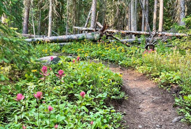
Wildflowers on the CDT and CT

The trail didn't follow the South Fork of Texas Creek. Instead, it began a climb up a ridge. The next 4.5 miles would ascend nearly 2,000 feet.

I began to feel tired early into the climb, but I didn't want to stop for a break. I was determined to tough it out so I wouldn't fall too far behind my friends.

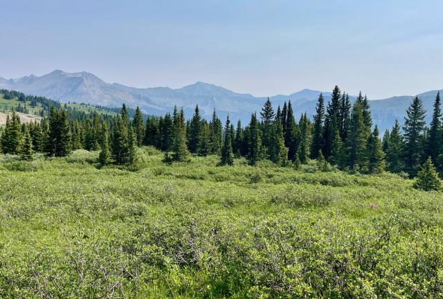
The trail crosses a meadow

About halfway up, the trail crossed a slope covered mostly by grass, though it was below the treeline. I caught up to OT where he had stopped to take a short break.

I also ate a snack, which gave me more energy for the rest of the climb.

A range of the Collegiate Peaks

With fewer trees to block the view, I had a good look across a range of the Collegiate Peaks. Among them were Mount Harvard (14,419 feet) and Mount Columbia (14,058 feet), which stood less than eight miles away.

Climbing toward Cottonwood Pass

By the time the trail climbed above the treeline, I could see where it was taking me. There appeared to be a pass at the top of the ridge ahead.

I knew the trail crossed Cottonwood Pass and presumed the gap I saw was it. If I had looked at the map, though, I would have realized that was not the true pass. It was about three-tenths of a mile farther.

Looking back to the valley below

Before taking the last steps to the top, I turned to look back in the direction I had come from. No wonder that climb made me tired, I thought.

Then after crossing the pass, I began to see day-hikers. They were unexpected, and that's when I realized I still had a short distance to go before arriving at Cottonwood Pass.

Cottonwood Pass

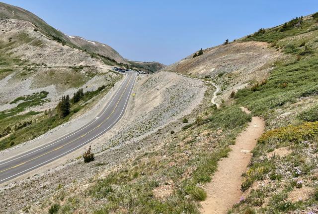
The trail crossed a highway at Cottonwood Pass. This was at 12,126 feet above sea level, and it was the highest paved mountain pass crossing the Continental Divide.

A small parking area at the top was filled with several cars. OT and Top O' were there fielding questions from curious tourists when I arrived.

One tourist gave Top O' a breakfast burrito. OT got an apple from another one, which he shared with me.

I stayed at the pass until some motorcyclists arrived. To be clear, I didn't leave because of all of them. I left because one of them was wearing a Confederate flag on his jacket.

Seeing the flag always offends me. I have no tolerance for anyone who displays it, and it was especially jarring here. Standing in an area of immense beauty was the last place I wanted to see that symbol of hate.

Leaving Cottonwood Pass

Grumbling to myself about the fool with the reprehensible flag, I began hiking again. Not much time passed, however, before the scenery pushed him out of my mind.

The trail climbed again, adding another 450 feet of elevation in less than a mile. I passed many more day-hikers. They were returning to their cars after hiking to a viewpoint at the top of a peak.

Top O' talks to a day-hikers

When one of the day-hikers came down from the top, she excitedly said to me, "Oh, you’re one of the Triple Crown hikers!" I chatted with her, and after she left, I looked up toward the top. OT and Top O' were there, talking to more day-hikers.

A view of the Collegiate Peaks

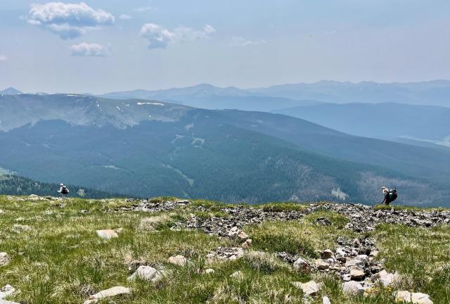
The trail didn't descend much after I passed the viewpoint. It remained above 12,000 feet most of the remainder of the day on an exposed ridgeline while tracking closely to the Continental Divide.

I tripped on a rock in this section and fell hard, landing on a knee and an arm. Though the fall was painful, my confidence was shaken more than my body. I realized a fall like that could have ended my hike.

The trail crosses the slope of Wander Ridge

The trail bypassed the top of Wander Ridge, passing less than two hundred feet below its rocky peak.

A few, small pockets of snow were still clinging to the top, but the trail never crossed them.

Day-hikers walking in Collegiate Peaks

About two miles beyond Cottonwood Pass, two day-hikers passed me as they headed back to their car. They were the only day-hikers I saw since leaving the lookout point. This was a little surprising to me, considering how pleasant the weather had been.

There was no sign of a storm brewing. If anything, the sky appeared to be a little hazier than it had been the last couple of days. I wondered if I was seeing smoke from a forest fire.

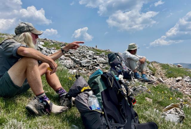
OT and Top O' stop for a break

Top O', OT, and I didn't stop for lunch until nearly 1:30 p.m. I discovered during our break that I had cell service, so I sent Kim a message to let her know I was still alive.

Descending the trail in Collegiate Peaks

The sky got smokier as the day wore on. I didn't know it at the time, but lightning had started a large fire two days ago near Steamboat Springs.

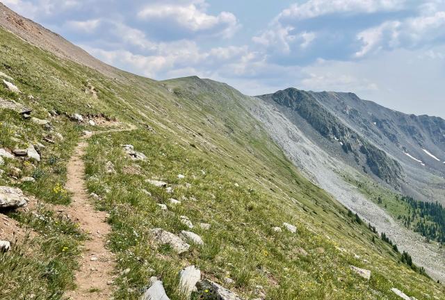
The trail crosses a slope

Despite the smoke, the views continued to be spectacular. The trail remained well above the treeline as it went around an unnamed peak.

If today hadn't been a day of wonderful weather, this section could have been troublesome or even dangerous. There was no place to go for protection if a storm rolled in over the mountains.

There are a couple of routes to take for avoiding bad weather, though some advance planning would be needed. One is the Mirror Lake Alternate. Following that would have required us to make a turn before we reached our campsite yesterday. The alternate is also known as the Collegiate West Low Route.

Another bad weather trail is the Collegiate East Route. It is about the same distance as the Collegiate West Route, which is what we are hiking.

The Collegiate East Route has a little less elevation gain and is less exposed. To follow it, we would have had to turn at a different trail near Twin Lakes. Most CDT hikers don't go that way.
The trail crosses a ridge and enters Mineral Basin

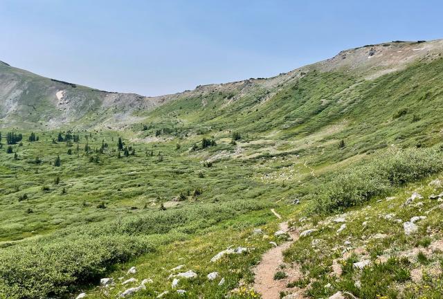
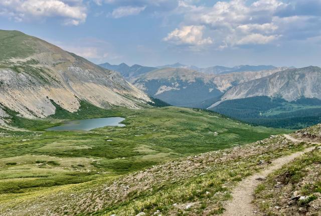
Shortly before 4 p.m., the trail crossed the top of the ridge and I began to descend into Mineral Basin. The upper elevation of this valley was a broad cirque above the treeline.

I was running low on water now and saw a lake ahead. When I checked the map, however, I realized the trail didn't go in that direction. Fortunately, a stream flowed across the trail about a half-mile away.

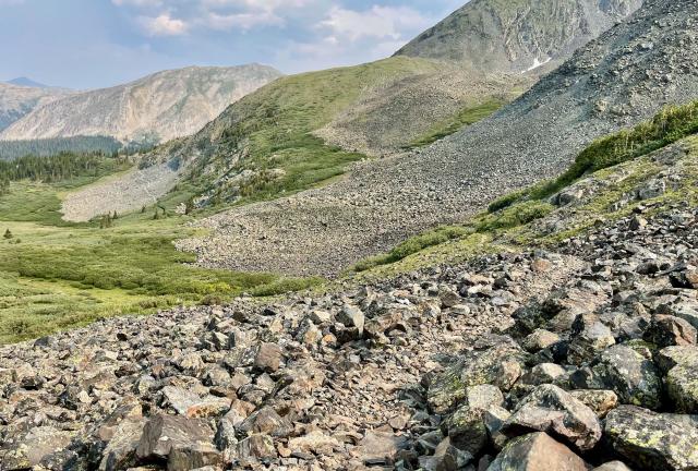
A slope of talus

The trail crossed large sections of talus. I usually slow down when the trail is like this because the rocks can be unstable. I decided I needed to pick up my pace, however, when I saw a large group of hikers behind me.

I knew I was less than a mile away from where we intended to camp. I also knew there weren't many tentsites there, and I wanted to make sure I got one.

Sprinkles

Predictably, though sooner than expected, I met another hiker I knew. It was Sprinkles. Technically, I didn't first meet her on another trail but close enough. I met her when we spoke at a hiking seminar hosted by our local REI store.

I was glad to see her and pleased there was space for her at our campsite. I had intended to take a photo of her when we had our surprise meeting in Twin Lakes and didn't get the chance. Now I could do that.

OT and Sprinkles in the campsite

Our campsite turned out to be a little roomier than comments in the Guthook app led us to believe. It wasn't as flat as I would like, but I found a spot for my tent that was better than the night before last.

My only complaint about the site was its distance from a stream. To get water, I had to walk back on the trail for a quarter of a mile and over rocks for most of the way.

After hiking above 12,000 feet for most of the day, we were camped just barely below that, at 11,920 feet above sea level. I must be getting acclimated to the elevation because I wasn't feeling its effects nearly as much as I did when I was at high altitude early in this hike.

Into the great wide open
Under them skies of blue
Out in the great wide open
A rebel without a clue

This trail report was published on