Glacier lily

Will you recognize me? Call my name or walk on by?

Day 38, Harris Bear Spring to Springs near El Rito Creek

Thursday, May 20, 2021

I have written several times about friendships I've made on the trail. It's remarkable how easy it has been to make friends and how lasting many of those relationships have become.

The trail brings us together, despite differences we may have in our lives away from it. We walk the same footpath and experience the same emotional highs and lows. Because of this, we understand each other, and our shared experiences can create strong bonds.

Weather Variable cloudiness with temperatures from the mid-40s to mid-60s
Trail Conditions Sometimes muddy, sometimes snow-covered, and frequently confusing
Today's Miles 16.3 miles
Trip Miles 575.8 miles

Hiking the CDT has been especially fun because most hikers have already completed the AT, the PCT, or both. They have many of the same experiences I have, even if we didn't hike the trails the same year.

As I meet more hikers, there's a greater chance I will run into someone I already know. That has happened to me a few times on PCT and already once on the CDT. It happened again today.

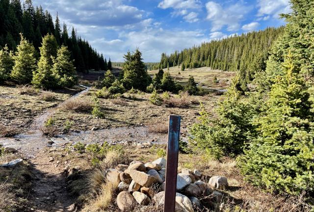
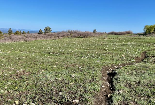
Grass and rocks

The thunderstorm I thought might pass through last night never hit our campsite. Just some light rain fell, and it didn't last long.

There was condensation in my tent when I woke up. My gear wasn't as damp as it got yesterday morning. Zigzag and I decided again to remain at our campsite to dry out our gear and didn't leave until 8 a.m.

When we returned to the trail, we quickly arrived at the junction of the Ghost Ranch Alternate and the CDT. We continued from there on the CDT and soon crossed a large meadow.

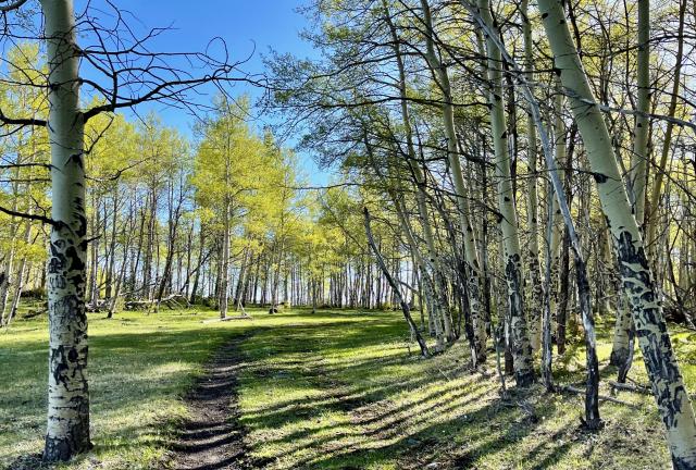
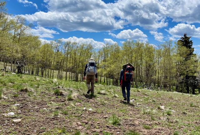
Aspen trees in the morning sun

The trail mostly crossed open terrain in the morning. These sections were grassy fields and not the desert sagebrush and cactus we have become used to seeing.

The trail occasionally passed through small stands of trees, but they were widely scattered. Where there was shade, the trail tended to be muddier.

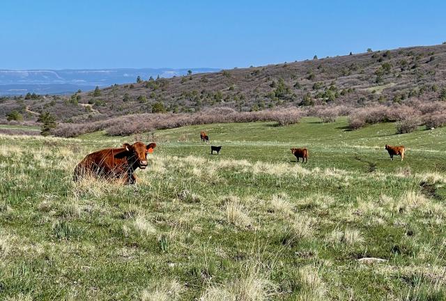
Cows sit contentedly on a hill

The next meadow the trail crossed stretched wide over rolling hills. A small herd of cattle barely paid attention to us as we walked by.

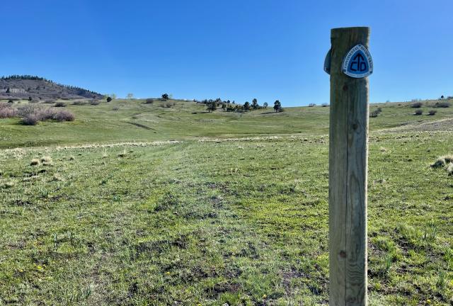
A marker identifies the path of the Continental Divide Trail

Now that we were back on the official CDT, an occasional marker appeared on the trail. Maddeningly, they were infrequent and unreliable. There was often no marker where we needed it the most, like where the trail changed direction.

At least there were a couple of trail markers to follow on the first grassy hills we crossed. The footpath was not well-worn here. Without the signs, finding our way would have been much more difficult.

Sasquatch

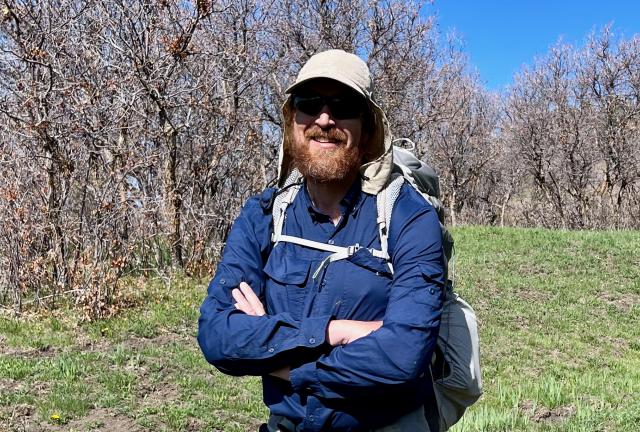
After cresting one of the hills, the trail dropped into another clump of trees. Zigzag and I met a hiker there. He was the first one we had met since leaving Ghost Ranch yesterday morning. His trail name was Sasquatch, and when he told us that, it sounded familiar to me. I just couldn't place where I met him.

As we wrapped up our brief conversation, Sasquatch turned to continue up the trail. Then he stopped, turned back, and asked, "Did you hike the Benton MacKaye Trail?"

That was where I met him! I immediately remembered Sasquatch was at Indian Rock Shelter when Tengo Hambre, Just Awesome, and I camped there on our thru-hike last fall. We only saw him on the trail for that brief time, but I should have remembered meeting him. That hike was just seven months ago.

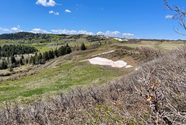
Pockets of snow near the top of Mogote Ridge

The trail climbed about 500 feet in the first five miles. A modest ascent spread over that many miles is usually easy. This one was tiresome because it included several short descents along the way. We frequently had to regain elevation after each drop.

The trail was climbing above 9,500 feet in elevation, and I'm sure I was feeling the effects of the altitude as much as I was the terrain.

Patches of snow began to appear along the way. These were probably remnants from last winter, though some snow also fell on these mountains three days ago. That was when Zigzag and I were hit by a thunderstorm.

Zigzag and Sasquatch

The climbing continued as the trail went up Mogote Ridge. After reaching the top, the trail followed the ridgeline for the next 6.8 miles, except where it went around Mogote Peak.

Zigzag and I hiked together for the next two hours before we caught up to Sasquatch again. This time, he decided to hike with us.

We missed a turn during this stretch because we spent too much time talking and didn't pay enough attention to where we were going. Of course, it would have helped if there was a trail marker or two along the way.

To get back to the trail, we used the Guthook app to map out a route and bushwhacked our way there.

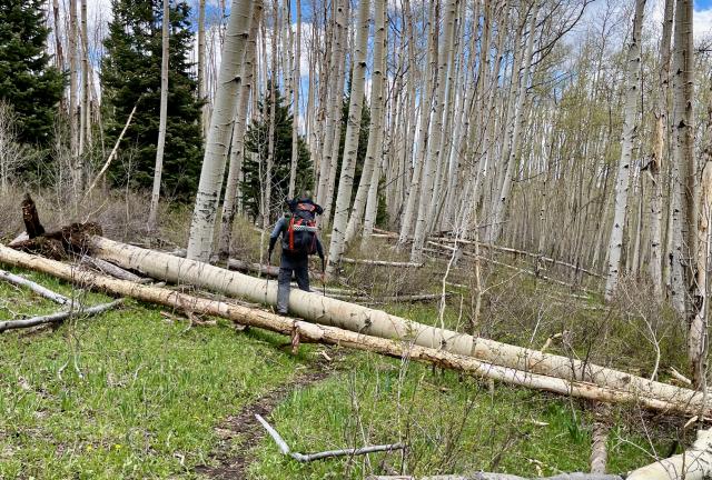
Zigzag steps over a blowdown

That decision didn't work out as well as we hoped. The trail was hard to reach because several blowdowns got in the way. We became separated from Sasquatch as we picked our way through downed trees.

Zigzag and I stopped for lunch when we found the trail. We figured we had lost Sasquatch for good.

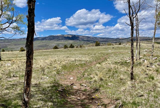
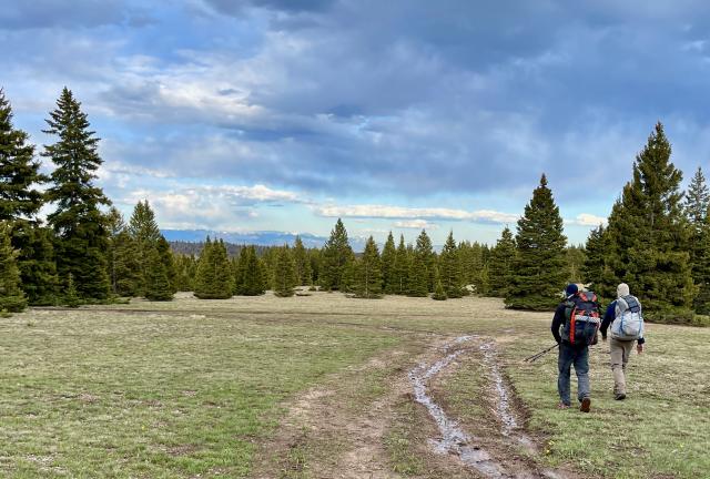
Rolling hills

The tiring ups and downs continued after lunch. At least the weather was beautiful. More clouds formed in the afternoon, but I didn't expect rain today.

We found Sasquatch again when he stopped to take a break. We hiked together after that, and this time, we managed to do a better job of staying on the trail. Zigzag eventually pulled ahead and continued without us.

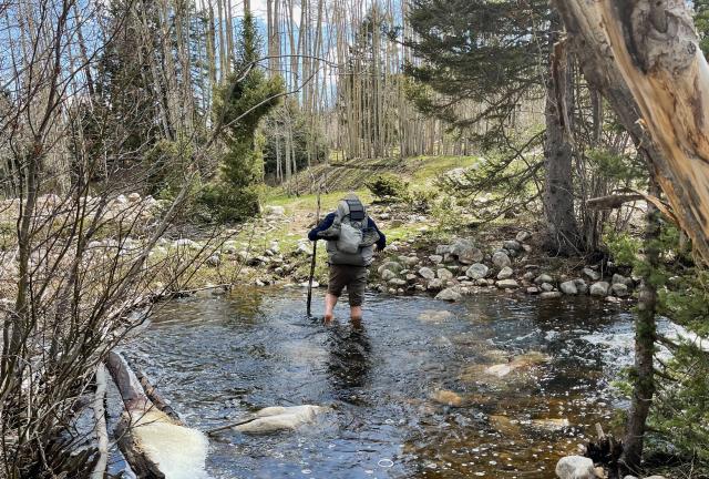
Sasquatch crosses a stream where he didn't see a bridge

Sasquatch and I ran into more confusing trail sections. It seemed that some were new and not where the Guthook app showed them to be. We had to guess a couple of times where to go and hoped we would wind up where we expected.

When I came to a stream, I saw Sasquatch crossing it in water up to his knees. I laughed and pointed to a bridge that was just a few yards to his right. He had failed to see it.

Canjilon Lakes Campground

I fell behind Sasquatch for a short time but caught up to him when I arrived at a Forest Service campground at Canjilon Lakes at 4:30 p.m. He told me Zigzag had just left.

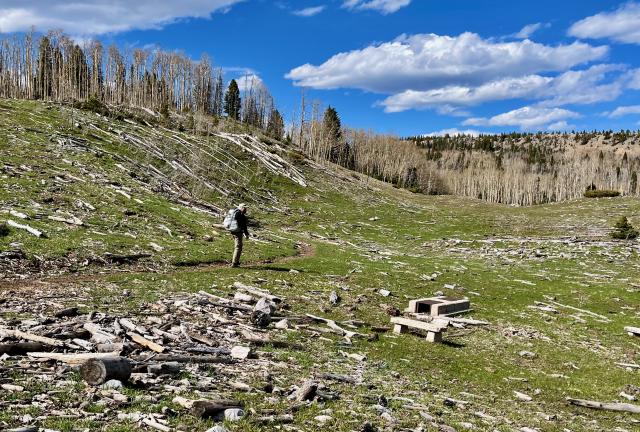
Disease killed many of the aspen trees in this area, and that prompted the Forest Service to close the campground in 2017.

Sasquatch and I thought the trees were knocked down by a microburst because they all laid flat in one direction. We didn't realize a crew had cut most of the dead trees to make the area safer for visitors. Before the campground was closed, a tree fell on a fisherman, another fell on a truck, and one aspen fell on an unoccupied tent.

Authorities say the trees will recover quickly because the aspen root system likes disturbed soil.

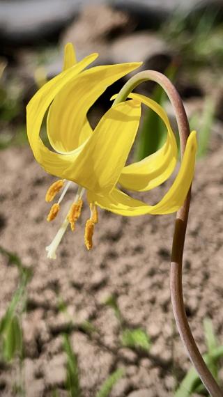
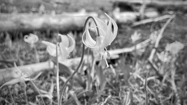
glacier lily

The campground was at an elevation of 10,115 feet. As soon as we left the area of downed trees, I saw several glacier lilies. These are often the first wildflowers to appear when snow melts.

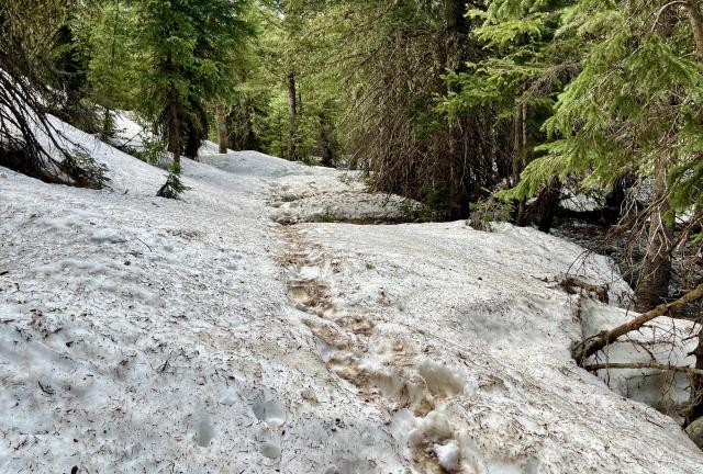
Snow on the trail

We didn't have to go far before we started seeing more snow. At first, it was just in small piles. Within a quarter-mile, however, snow completely covered the trail. It remained that way for about a mile. The icy snow slowed me down, and I lagged behind again.

The trail followed Canjilon Creek for the next two miles.

No snow in a park at Canjilon Creek

The snow ended when I walked out of the tree-covered section of the trail and into a mile-long park. Several small streams crossed the trail here and fed into Canjilon Creek.

The time was now 6 p.m., and though I was hoping to stop soon, there wasn't a good place to set up camp. The ground was too wet and rocky.

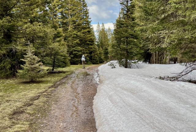
Piles of snow on a road

I caught up to Sasquatch when the trail joined a road that continued through trees. We found more snow here, but the road opened enough of the tree canopy for some of the snow to melt. We were able to walk around the large piles of snow.

Zigzag and Sasquatch search for a campsite

We regrouped with Zigzag at 6:45 p.m. and continued together to look for a place to pitch our tents. We found a spot after searching for about 15 minutes. It wasn't ideal but worked well enough.

There wasn't any space to pitch our tents under trees. We prefer to do that because the tree cover helps to keep condensation from building overnight inside our tents. At least our site was flat, dry, and protected from the wind.

The campsite we chose was at 10,320 feet above sea level and near two seasonal springs. They were the headwaters of El Rito Creek, a tributary of the Rio Chama.

Our chance meeting with Sasquatch today allowed me to get to know him a little better. He's not thru-hiking the CDT but is hiking it in sections. When I met him on the BMT, he was also section-hiking. That's the way he prefers to hike.

Sasquatch left his car in Chama, and he's offered to help Zigzag and me go into town. We liked the idea, though I didn't know yet that Zigzag's thoughts for that were not the same as mine.
Will you recognize me?
Call my name or walk on by?
Rain keeps falling, rain keeps falling
Down, down, down, down

This trail report was published on