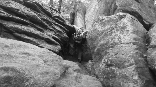
Stick climbing over rocks

Amaze and blaze and mystify

Day 86, Campsite at Mile 1113.6 to U.S. 11

Wednesday, July 5, 2017

Since passing the halfway point on Day 84 I am now closer to Mt. Katahdin than I am Springer Mountain. Yet still, I don’t feel that much closer to Maine.

It’s an odd feeling, which I think has more to do with the days, weeks and months that remain, compared to the total number of miles I still have to walk. It still feels daunting, but a little less so.

Each day adds a little more confidence for successfully completing my hike. It’s still not a sure thing, and won’t be until I finish, but I know my odds are getting better.
Weather Mostly cloudy and slightly cooler, with a high temperature around 80
Trail Conditions A few moderate climbs, then flattening to farmland
Today's Miles 15.9 miles
Trip Miles 1,129.5 miles

To be sure, several challenges still stand in my way. One of those is looming fast.

I’m just about finished with the flatter, smoother part of Pennsylvania. I’ll be in Duncannon late tomorrow or early the next day. Beyond that, and well into New Jersey, the trail will be rocky and much more difficult.

It's the reason thru-hikers call this state Rocksylvania.

Rocky climb

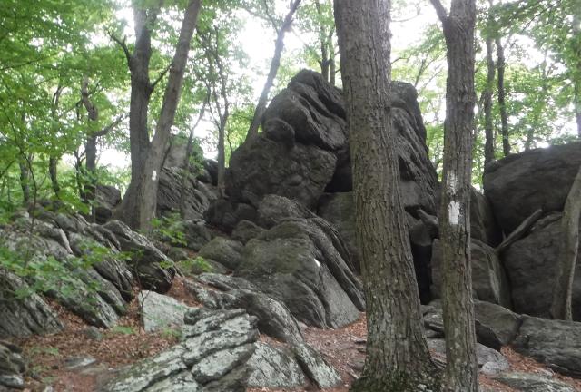
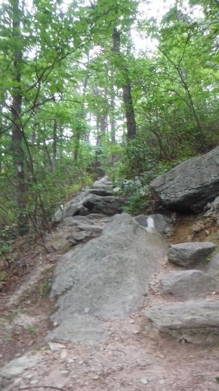
The trail isn’t without rocks before Duncannon, of course. We saw plenty of them first thing this morning. The trail made a steady, though short and not difficult climb through rocks before reaching a section of large boulders.

Start of rock maze

The trail cut though, around and over the boulders, with several narrow gaps and false openings. It was a rock maze.

Narrow gap in rocks

The trail was well-marked, which was a good thing. Without the white blazes, it would be easy to get lost in this maze.

Stick climbing rocks

There were times, though, when it almost seemed as if the blazes were wrong. Did the trail really go this way?

It did, and the only way for us to follow it was to pull ourselves up and over the boulders that stood in our way.

From there, the trail made a short descent, then flattened out for about a mile before hitting another series of ups and downs.

Marker at Center Point Knob

These ups and downs were steeper and continued for four miles. At the top of the final climb was a bronze marker.

This peak was called Center Point Knob, so named because when a plaque like this was placed here in 1935 this was the halfway point of the trail.

Of course, this didn’t remain the halfway point for long as the trail’s length and route soon changed, but the peak kept its name.

Later, vandals pried the marker from the rock and it was thought to be lost forever.

When a man named Wilmer Harris discovered it buried in his yard, he didn’t know where it came from or how it got there. After cleaning it up he placed it on his fireplace mantel and it sat there for many years.

Eventually, someone who knew of the plaque’s history learned that Mr. Harris had it in his home. In 2011, a copy was made and remounted here on Center Point Knob. The original was placed in a glass case in the AT Museum.

You can see the original standing next to the Mt. Katahdin sign in a photo on my Day 85 post.

Cornfield near Boiling Springs

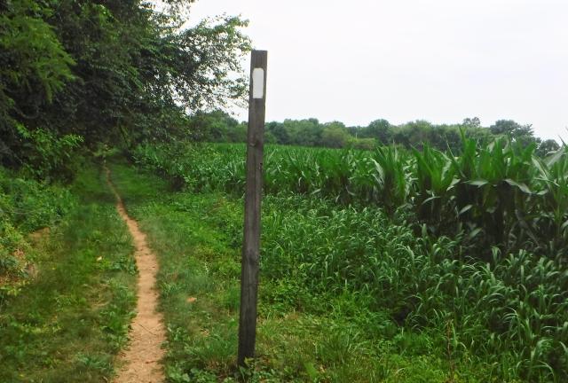
From Center Point Knob the trail made a quick descent to flat farmland. We walked next to and through large fields of corn and recently-harvested wheat.

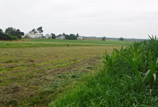
Farm near Boiling Springs

The trail made several right angle turns as it zig-zagged through and around these fields using easements acquired to permanently protect the trail.

Stick and JP

As we walked through this section we were joined by JP, a hiker we had not seen in several days. He continued with us for the rest of the way to the town of Boiling Springs.

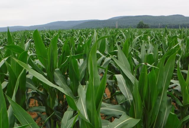
Cornfield and mountains

Before making one more turn to head into town, I looked back to see the range of mountains that we had walked over before entering this broad and flat valley.

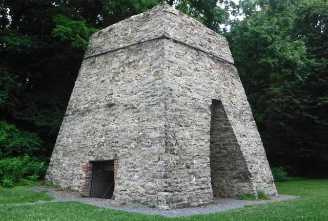
Boiling Springs furnace

The trail took us through the center of Boiling Springs, a small and picturesque community of just over 3,000 people.

The first thing we saw in town was a large, stone furnace, much like the one in Pine Grove Furnace State Park. It was constructed in the 1750s. Ore and timber pulled from the nearby mountains were used to smelt iron.

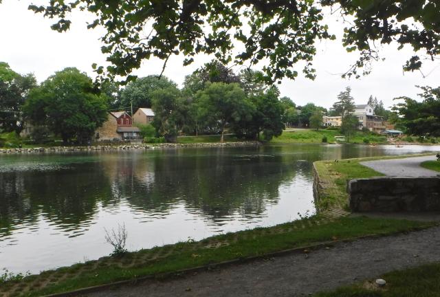
Children's Lake at Boiling Springs

The trail then continued along Children's Lake, which was formed by a dam across a brook that is said to be fed by 30 natural springs. The town's name comes from one of the springs, which didn’t actually boil, but the water looked as though it was boiling as it bubbled up from the ground.

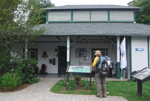
ATC office at Boiling Springs

Next we arrived at the Mid-Atlantic Regional Office of the Appalachian Trail Conservancy. This is the only ATC office that is located directly adjacent to the trail.

After a quick stop to refill our water bottles we went looking for food.

A sign on the door of Boiling Springs Tavern made a point about "appropriate attire”. We took this to mean dirty, sweaty hikers were not welcome, so we continued on to a coffee shop called Caffe 101. It was a nice spot with good food.

Stick, JP and I sat outside under an umbrella to enjoy our meal and relax.

When we finished, Stick and I walked over to a local outfitter store, where I bought a pair of Superfeet insoles. My hiking boots provide good stability and sturdiness, and I had been wearing custom insoles. I decided, though, that a little extra protection would be helpful over the upcoming rocks, and the insoles I purchased were stiffer.

We could have stayed overnight here in Boiling Springs. There are a few places to stay, including a hiker campground just outside of town.

Carlisle was only eight miles away. When I learned the Days Inn there offered a hiker rate of just $60, we decided to put in some more miles while the hiking was still easy.

By adding the extra miles today, we won’t need to resupply until we reach Duncannon.

Taquito walking behind Malibu

Leaving town, we had to walk along a road for a short section. This was the first time I had seen Malibu and her little dog, Taquito, who was doing his best to keep up with her.

Taquito and Mailbu

Taquito doesn’t always walk, though. At times, he gets to ride tucked in Malibu’s shirt.

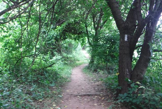
Green tunnel

After the trail left the road, it went through a narrow corridor of trees between farm fields.

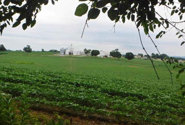
Large farm

Some of these farms were large. They looked like they were very productive, surrounded by large fields of corn and beans.

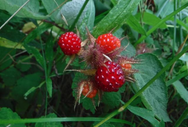
Ripe red raspberries

We did a little harvesting of our own when we found ripe, wild raspberries growing along the trail.

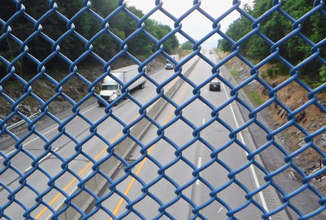
Crossing the Pennsylvania Turnpike

The trail remained flat and easy. Soon we crossed the Pennsylvania Turnpike and reached U.S. Highway 11.

From there, it was a half-mile walk to the Days Inn.

As I noted earlier, the motel offered a favorable hiker rate, yet while walking to it we discovered an oddity that was unfriendly to hikers.

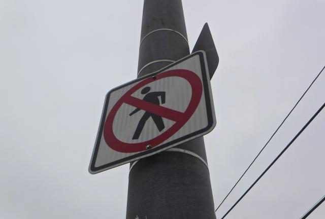
No walking sign

At a busy intersection with a stoplight, “no walking” signs were posted in all four directions. In order to cross the road and reach the motel, we had to violate the directive of the signs.

We were at first dumbfounded, then had to laugh at the absurdity of this.

As we neared the motel, I began to fold up my trekking poles. That’s when I discovered one of them had a broken tip. This was an unfortunate situation. My poles will be needed in the rocky section.

Because we didn’t need to resupply here, we were able to relax a little more. I did our laundry, and then we headed next door to Middlesex Diner. The food there was fine, but they didn’t serve beer.

I remembered I had a matching pair of trekking poles at home, and by matching I mean one had a broken tip. So when we got back to the motel, I called Kim and asked her to send me the unbroken pole. I calculated that it could get to Port Clinton before I did, so I asked her to mail it there.

Picasso moon, blinding ball
I feel the quickening, I hear the call
Picasso moon, fill the sky
Amaze and blaze and mystify
With the lunar wind, I want to fly
And it's bigger than a drive-in movie, oh my

This trail report was published on