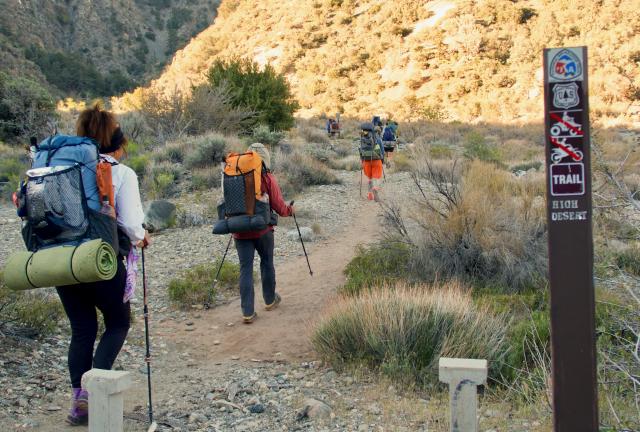
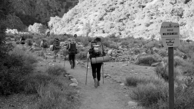
Entering Pleasant View Ridge Wilderness Area

Animals and birds who live nearby are dying

Day 32, South Fork Campground to Cooper Canyon Campground

Wednesday, April 24, 2019

Although we were intentionally taking a detour to avoid a risky climb over ice and snow on the summit of Mount Baden-Powell, there was another reason for our alternate route.

A segment of trail was closed to protect an endangered species, the mountain yellow-legged frog. We were required to go around that.

The other option would be to walk along California Highway 2. The road past Vincent Gap and Baden-Powell was closed, so there wouldn’t be any traffic on it, but that wasn't preferable to the trail.

Or so I thought.
Weather Clear skies with a high temperature in the mid 80s
Trail Conditions A couple short climbs and one long one
Today's Miles 16.6 miles
Trip Miles 396.4 miles

Road walking is not fun and I will gladly avoid it if I can.

Had I realized how difficult today’s hike on the Burkhart Trail back to the PCT would be, however, I might have reconsidered that idea. The trail today was tough because it was almost all up and exposed to the sun.

The Burkhart Trail was also in poor condition in many places. Erosion was so bad that horse owners were warned to not use it.

Leaving South Fork Campground

After saying goodbye to our campsite neighbor, YouTube star Jay, we left South Fork Campground at 7:15 a.m.

Departing from the campground, the trail took a flat path for a short distance across the canyon floor.

Crossing Big Rock Creek

We didn’t walk far before coming to Big Rock Creek, the first of the day’s stream crossings.

Rock-hopping across the creek was a little tricky because the rocks weren’t ideally spaced apart. Not everyone made it across without getting a foot wet.

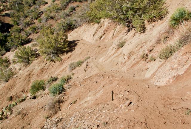
Eroded trail

The trail began to climb soon after the creek and before long the footpath dissolved into a sandy slope. Erosion made the trail barely recognizable and difficult to traverse.

The trail eventually firmed up and the footpath flattened out, but this was not the last bad erosion we would see today.

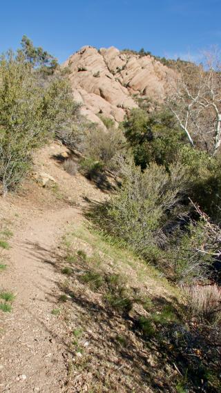
Sandstone outcropping

As we climbed out of the canyon we began to see some sandstone rock outcroppings. These weren’t part of Devil’s Punchbowl Natural Area because we had already left the park's boundary. Still, I enjoyed seeing the interesting rock formations.

The tramily takes a break at a stream

We stopped for a break at another stream after climbing about 90 minutes. The day was warming up, so this was a nice place to cool off.

Repaired trail

Continuing our climb after the break, the trail crossed more sections of sand and gravel. The efforts to control the effects of erosion appeared to be more successful here than they had been in a few similar spots yesterday.

View of San Andreas Fault

By 9:30 a.m. the trail reached an elevation high enough to provide a full view of one of the area’s most famous geologic features, the San Andreas Fault. This is a 750-mile line through California formed by two tectonic plates striking each other in sometimes violent fashion.

Exposed trail

We had good views of the Mojave Desert yesterday before descending to Vincent Gap, and after returning to a higher elevation we began to see it again off in the distance.

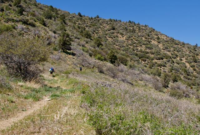
The higher we went the more exposed the trail became. The sunny sky made our continuous climb much hotter than we had been used to lately.

The weather had been cool for the last week. This was not a welcome day for the heat to return.

Climbing, exposed trail

I was surprised to see some day hikers on this section of trail. They were unexpected because the area was remote.

The trail was taking us through Pleasant View Ridge Wilderness Area, which encompasses 26,839 acres and has no roads. The day hikers must have come from the campground or another part of Devil’s Punchbowl Natural Area.

Hints of snow seen on ridge

By mid-afternoon, snow could be seen up ahead, not on the trail, but clinging to the upper-most sides of a ridge.

The trail was going up 2,300 feet in 3.7 miles. Between the elevation change and the heat, I was beginning to feel worn out.

An opportunity to take a short break came when the memory card in my camera filled to its capacity. My backup card was smaller, so I wanted to buy a new one as soon as possible.

By luck, I discovered I was receiving a wireless signal from where I was standing, so I placed a quick Amazon order for a couple more memory cards. I had them shipped to Hiker Heaven in Agua Dulce, where I knew we would arrive in about four days.

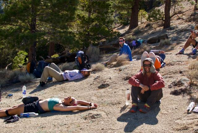
Tired tramily

When I reached the top of the long climb I found all of the tramily members stretched out to cool down and recover.

That climb had been more difficult than nearly all of what we had walked so far on the PCT, mainly because of the heat.

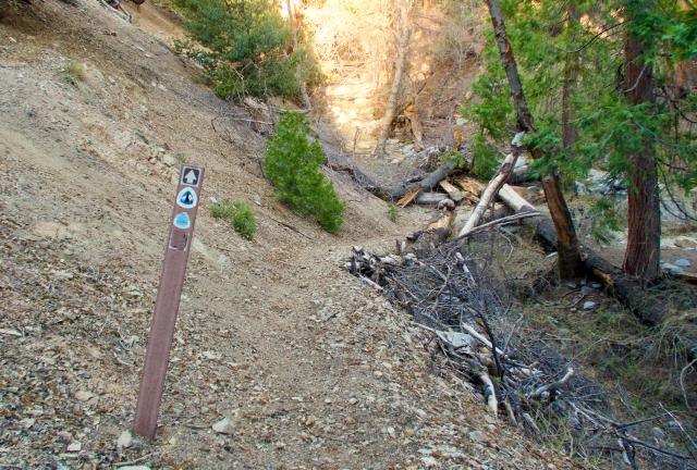
Badly eroded trail

After our break, the trail made a descent, which included another eroded section of trail. In fact, this section was so eroded that it was as sketchy as some of the snowy sections we crossed in the San Jacinto Mountains.

I walked across this section slowly to make sure I had firm footing. Climbing back to the trail after a long slide on the gravel would have been just as difficult as it would have been on snow.

End of Burkhart Trail, return to the PCT

The final climb up the Burkhart Trail came to an end at 6 p.m. when I reached PCT.

There was still more climbing to come, however. There were another 600 feet of elevation to gain in the next 1.4 miles, but before beginning that I stopped to collect and filter some water.

I finally arrived at Cooper Canyon Campground at 7 p.m.

It wasn’t a luxurious spot, but with bear boxes, tables, and a privy it was certainly nicer than most PCT campsites.

The long, steep climb, the heat, and the severely eroded trail sections made the trail more difficult than I had counted on. Still, I was glad we took this route.

We had originally decided to go this way because of snow and ice on Mount Baden-Powell, but there were other benefits. We got to see some fascinating geology, plus some wide and high views of the desert.

In all, we walked 1.2 miles more than if we had stayed on the PCT, if we could have stayed on it. The closure for the endangered frogs has been in effect for 14 years.

There is an effort underway by biologists from the San Diego and Los Angeles zoos, and the U.S. Fish and Wildlife Service, to breed the mountain yellow-legged frog and then release them into suitable habitats.

The frogs are so vulnerable they are now mostly limited to national forest and national park lands. Without protection and efforts to increase their numbers, they will likely become extinct.

Yesterday and today had been difficult, but I’m glad the route we took helped to preserve their habitat.

Ah, oh mercy, mercy me
Ah things ain't what they used to be, no no
Radiation under ground and in the sky
Animals and birds who live nearby are dying

This trail report was published on