
Day 92 Hancock Lake to Monarch Pass
More from this trailIt's time to run
Today felt like it was the beginning of the end. I don't mean the end of my hike, of course. I still have at least two months more to finish. The end I'm referring to is the remaining trail to hike in Colorado.
I've been looking ahead on the map lately to see how much farther we have to go. It looks like Top O' and I need to hike less than 150 miles to finish the state. That's when we will connect where our footsteps ended before flipping to Wyoming.
OldTimer doesn't have as far to walk as we do. He completed a few more miles by hiking to South Fork before he hitchhiked north.
A resupply box was waiting for me at Monarch Pass, and that's probably why I've started to think about finishing Colorado. This will be our last resupply stop before we head back to Wyoming. That is a good indication of how close we are to getting back where we left when we flipped to Wyoming more than five weeks ago.
The distance remaining in Colorado holds some challenges, however. All of the trail will be above 9,000 feet, with most being above 10,000 feet. Long stretches will be above the treeline. After Monarch Pass, there will be no other opportunities to resupply until we're nearly done with the state.
So far in Colorado, we've averaged about 14 miles a day. The weather and terrain have prevented us from going much faster than that.
The resupply box I will pick up today has six days of food. It should be enough to get me to the town of Creede. Today, though, I wondered if we could finish in six days. That would mean averaging about 20 miles a day.
It's a crazy idea, but for unknown reasons, I'm thinking it's possible.

Dawn over Hancock Lake
A chilly breeze swept crossed the valley where we were camped near Hancock Lake. Our tents had been tucked amid some low shrubs last night. There was nothing to shield against the cold wind this morning when I began walking.

Lower Hancock Lake
The bitter cold was felt the most as the trail passed the lake. I walked by the tent of someone who camped close to the water. That spot was exposed to the wind, and I was glad we didn't camp there.

Top O' standing at the top of Chalk Creek Pass
Thankfully, the wind died down soon after the trail began to climb a steep ridge at the end of the valley. The ridge stretched between Sewanee Peak (elevation 13,132 feet) and Van Wirt Mountain (elevation 12,024 feet).
Top O' had left camp several minutes before me, and as I began the climb I could just make out his silhouette against the sky at the top of the ridge.
The trail crossed at Chalk Creek Pass, which was just one mile from our campsite. Nearly all of the 450-foot climb to get there came in the last half of that distance.

Descending from Chalk Creek Pass
I arrived at the pass at 7 a.m. Until now, I hadn't noticed any smoke in the sky. Now as I looked down the other side, I could barely see distant mountains. Among them and standing about 14 miles away was Mount Ouray (elevation 13,971 feet). The view was all but obscured by smoke still lingering in the air from the Morgan Creek Fire.

A pond looks like an infinity pool
The descent from the pass extended more than four miles, much longer than the climb to it. The trail followed a stream that flowed between several small ponds. These were the headwaters of the Middle Fork South Arkansas River.
One pond perched on a ledge looked like one of those infinity pools in a fancy resort.
Although water crossed the trail in a couple of spots, I didn't get my feet wet because there were enough rocks to hop across.

Stumps of cut dead trees
The impact of mountain pine beetles was notable in this valley. Many trees on the opposite side of the river were dead. Though the same was true on the trail side of the river, many of the dead trees had been removed.
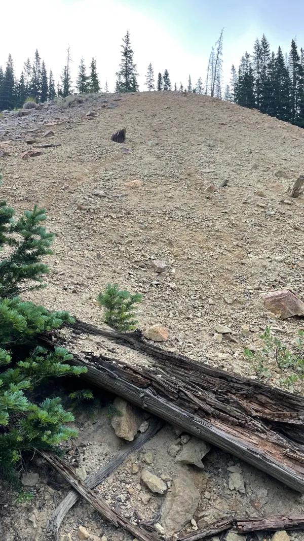
Tailings at an old mine site
I didn't see any evidence of a town or a railroad, as we saw on the trail yesterday, but there was one big sign of mining activity on this side of Chalk Creek Pass. The trail passed a large slope of tailings.

An overgrown section of trail
Triangular ragwort and barberyi larkspur thrived in the moist, open spaces between dead trees and the river. Some short sections were overgrown, making it difficult to walk.

The CDT follows a gravel road
I encountered a couple of places where the trail didn't match the route shown on the Guthook app. Instead of following a gravel road, as it appeared on the map, the trail went parallel to it along a slope. When I came upon the first of these, I decided to follow the new trail. The section wasn't long, and the trail soon rejoined the road.
I found OT taking a break at the second junction where the trail and the road split.

snowshoe hare
While we sat on a downed log and ate a snack, we watched a curious snowshoe hare. It was less wary of us than the one I saw in Washington on the PCT. This one hopped onto a log to watch us for a couple of minutes before scampering away.

A new section of trail
We decided to stay on the road for the next section but later followed another new trail section. This section was so new surveyor's tape still marked the route.

Boss Lake Reservoir
At the bottom of the long descent, the trail crossed the Middle Fork South Arkansas River and began a long and much steeper climb. The full ascent went up nearly 2,200 feet in 3.4 miles.
There was a brief respite from the climb seven-tenths of a mile from the start when the trail passed Boss Lake Reservoir. I was startled to find Blue here. He was walking southbound. I didn't expect to see him again on the trail because I knew he was trying to complete the Colorado Trail as quickly as possible.
Blue told me he stayed last night at the hostel near Monarch Pass. He got a ride this morning to the pass and was now slackpacking back to the hostel.
I told him we were thinking of staying at the hostel tonight. He said it was a nice place.

eastern red columbine
The climb seemed to go on forever, but the drudgery was brightened by some eastern red columbine flowers. The blue and white variety has been much more common to see than this variety.

Smoke obscures a view of distant mountains
As the trail climbed higher, distant views appeared again. The sky was just as smoky as it had been this morning.

Hunt Lake
About two miles after Boss Lake Reservoir, the trail went past Hunt Lake. The elevation here was nearly 12,000 feet.
The lake looked like a nice spot for a lunch break, but the time was 11:40 a.m. That was a little too early to stop, so I decided to keep going and hoped to catch up to OT again.

A distant view from the top of a ridge
As I neared the top of the climb, I saw some day-hikers. The men wore simple blue jeans and buttoned shirts. The women were in plain cotton dresses. I thought they could be Amish.
I found OT soon afterward, and he told me the hikers I saw were German Baptists, also known as Old German Baptist Brethren. Although they dress like Amish, they don't shun modern conveniences like electricity, automobiles, and telephones.
OT and I stayed at the top of the ridge to eat lunch. The views from here above the treeline were enjoyable, but they would have been much better if the sky wasn't filled with smoke.

The trail goes around Bald Mountain
Our lunch spot was at 12,500 feet and on the true Continental Divide. After we started walking again, the trail went around Bald Mountain and began a gradual descent along a long ridge.

The trail follows a long ridge
Some mountain bikers passed me, but not many hikers. Despite the smoke, this was a beautiful day to be on the exposed ridge.

Monarch Pass Game Drive
Farther along the ridge, I passed something that I might have overlooked if I hadn't noticed a couple of information signs posted nearby. The signs explained that the rocks lined along the ridge top were arranged here intentionally by prehistoric hunters.
As women and children shouted and chased animals up the mountain slope, male hunters waited with spears and other weapons behind the walls of rocks. Other rocks were piled high to funnel the animals into a closed space where they could be attacked and killed. The animals were then butchered and processed on the site.
This site has become known as the Monarch Pass Game Drive. Archeological studies have shown that hunting took place here for nearly 5,000 years.

Approaching Monarch Mountain
A mile or so past the hunting ground, the trail passed ski slopes operated by a resort called Monarch Mountain. Seven lifts carry skiers, snowboarders, and tubers to dozens of runs on these mountains.

A crew is removing trees
OT and I kept our eye out for a detour on the resort's slopes that was described in the Guthook app. The trail was reported to be rerouted while a crew cleared dead trees. Although we saw workers several yards below the trail, the trail wasn't closed. We must have arrived as the crew was completing work.
At about the same time we reached U.S. Highway 50 at Monarch Pass, a light rain began to fall. Fortunately, we didn't have to wait long to catch a ride. A truck pulled over within minutes and the driver offered us a ride. He told us his name was Tumbleweed, and he had hiked the Appalachian Trail in 2017. That was the same year I hiked the AT, but as we compared notes, we realized he started and finished much earlier than I did.
Tumbleweed agreed to drop us off at The Butterfly House Hostel, though we weren't sure where it was located. It had only been open for a year, and there wasn't a lot of information published about it.
We found a phone number, however, and when I called the owner, Shane, told us how to get there.

Top O' at The Butterfly House Hostel
When OT and I arrived at the hostel, we were met at the door by Top O'. He had been there for more than an hour, which gave him the advantage of taking the only private room. Sprinkles was also there.
Shane wasn't there when we arrived, but OT and I found beds upstairs in one of the two bunk rooms. I didn't waste time before taking a shower. It was the first one I'd had in ten days.
Shane had started a tradition in his new hostel. He provided rounds of cut wood and markers. Anyone who stayed there could draw and write on the wood, then hang it above the seating area.

Monarch Mountain Lodge
After we started a load of laundry, we walked across the highway to Monarch Mountain Lodge. The hotel looked a little run down, though the rainy and dreary weather may have contributed to that.
Before heading to the hotel's dining room for dinner, Top O' and I picked up the resupply boxes our wives had mailed there for us. OT asked for his to be sent to the gift shop at Monarch Pass and planned to pick it up tomorrow.
I ordered a pizza. When it arrived and I saw the size of it, I doubted I could finish eating it. This assessment was completely wrong. I should have known to never underestimate the power of hiker hunger.
I'm ready now to make the final run to finish Colorado. Am I crazy to think we can hike 125 rugged miles, nearly all above 10,000 feet, in just six days? Maybe, but it's worth finding out if we can.
Once we flip back to Wyoming, we will still have a long way to go to reach Canada. We should try to make as many miles as we can when we can.
You let your dreams keep you awake
You took it all that you could take
And now it's done
It's time to run
This trail report was published