Snow

As snow gathers like bolts of lace

Day 17, CDT Mile 345.1 to CDT Mile 360.9

Thursday, April 29, 2021

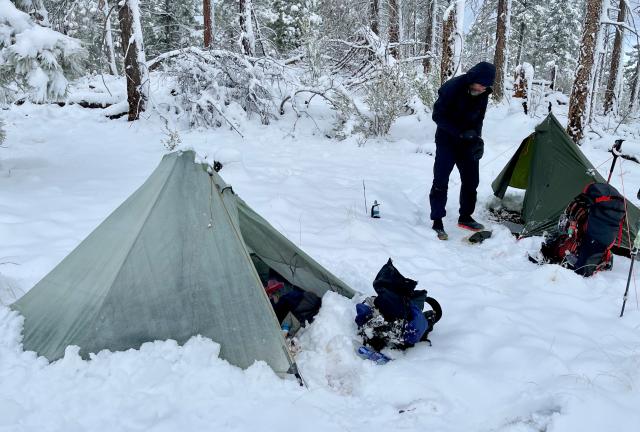
Under the circumstances, our campsite last night was probably the best choice we could make at the time. When we saw the weather turning bad and the time getting late, we needed to quickly find a spot off the trail that was large enough for our tents.

Still, our site was far from ideal. It was located on a partially-exposed knob at 9,123 feet. This was the highest of any point on the trail within five miles.

We couldn't know at the time that at least five inches of snow would dump on us before the end of the night.
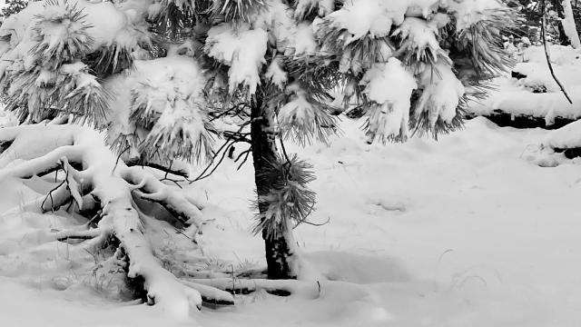
Weather Heavy snow ends with 5-6 inches accumulation; gradual warming and clearing sky; temperatures from the low-30s to around 60
Trail Conditions Snow-covered, then muddy; some steep climbs and a long descent
Today's Miles 15.2 miles
Trip Miles 262.8 miles

If I could have a do-over, I might prefer to use a different tent. I like my Tarptent Aeon Li, but at least for last night, there was a drawback. The walls sagged under the weight of snow. They closed in on me.

It didn't help that a stake pulled out during the night, though I didn't realize that happened until this morning. So much snow collected at the base of the tent, it partially held the corner in place.

A two-person tent like the Zpacks Duplex I carried on the AT and PCT would have been large enough to remain roomy when snow weighed it down.

Zigzag in our snow-covered campsite

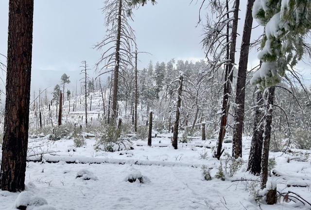
I didn't know how much snow fell overnight until I exited my tent in the morning. After what had happened to my tent, though, I wasn't surprised.

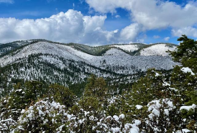
A view of a snow-covered hill

The usual morning chores of preparing breakfast and packing were difficult. That wasn't just because of the snow, but also because the temperature was below freezing.

Snow is everywhere

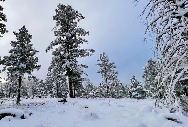
I wasn't going to let that prevent me from enjoying this moment. I took some time before leaving to wander the area around our campsite. This was a chance to appreciate crisp, cold air and beautiful, fresh snow.

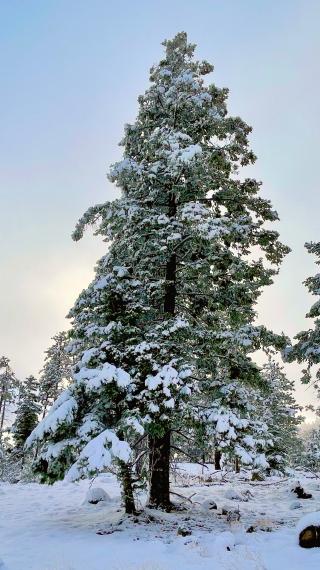
Snow hangs from tree branches

Clumps of white draped the branches, bending them under the weight. Except for a faint breeze filtering through the trees, the morning was calm and silent.

We didn't leave our campsite until 8 a.m.

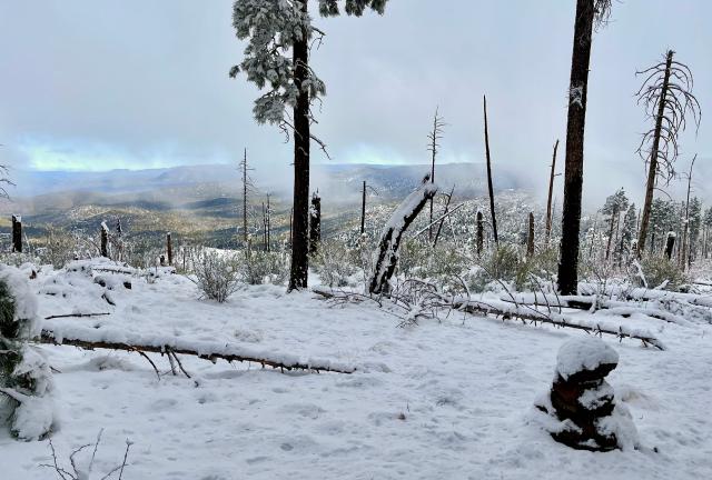
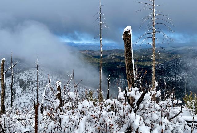
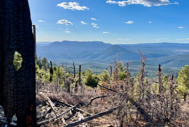
A look through burnt trees

This part of Gila National Forest was still recovering from the Willow Fire, which burned in 2009. With fewer, smaller trees, we had good views looking north.

Clouds roll up from the valley

I wanted to look at the views, especially when low, dark clouds began to roll in and cling to the ridges. The snow-covered trail descended steeply, however, and I had to stay focused on where I was stepping.

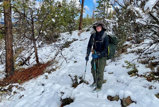
The trail wasn't just slippery. The snow sometimes obscured the footpath so much it was difficult to find where to go. Zigzag and I had to stop several times to scan the terrain ahead and figure out where the trail went. There were no footprints to follow.

A look across a snow-covered valley

This section of trail wasn't just the official CDT route. It also directly followed the Continental Divide. The people who mapped out the trail intended to follow the divide as closely as possible, but the terrain didn't always make that practical. The trail was on the divide here and would remain that way for the whole day.

The first 1.5 miles dropped to a gap. When we got there, we could see someone had camped under a large tree. Most likely, that was Baguette.

This was definitely a better site than where we camped last night.

Baguette

We followed footprints we assumed were Baguette's as the trail went up the other side of the gap. We stopped, though, where the footprints turned to the right. It looked to both of us that the trail went left.

There was no way to know if Baguette had done that intentionally, but we also knew she could figure out her mistake if she didn't.

We didn't go far before we saw Baguette descend to the trail behind us. Just as we thought, she misread the snowy trail, then bushwhacked her way back to find it.

We must have made her tired of our pace. She followed us for a while, then cruised past us.

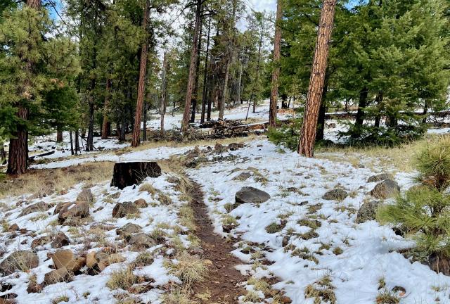
The snow begins to melt

There was more trail confusion a short distance farther. Once again, the Guthook app didn’t match where the trail appeared to go. By now, we knew this wasn't unusual and didn't worry about it.

The trail made a wide bend around John Kerr Peak, but there was also a road that took a slightly more direct route. We followed the road, not because it saved six-tenths of a mile, but because it wasn't covered in snow.

After rejoining the CDT about a mile farther, the trail began the longest climb of the day. It went up about 1,000 feet in the next 3.7 miles. The slope was exposed enough to melt most of the snow.

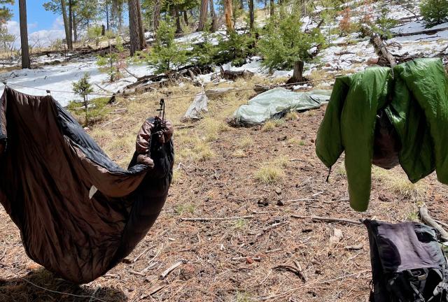
Gravity's quilt and jacket hanging from a clothesline

We stopped at 1:45 p.m. to eat lunch. There was enough sun by now that I strung my bear bag rope between two trees and hung gear to dry.

Baguette passed us while we were stopped. We had to laugh about this, not realizing until now that we walked ahead of her when took the road shortcut.

Later, Beer Goddess and DhammaBum arrived at our lunch stop. I had not yet met DhammaBum, but Zigzag remembered him from the AT in 2019.

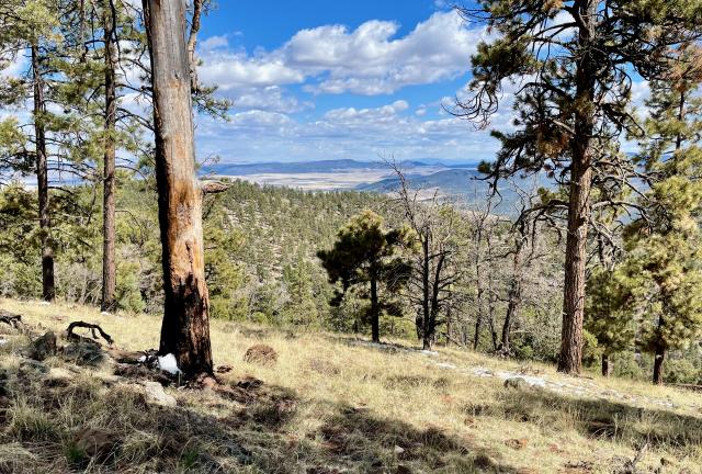
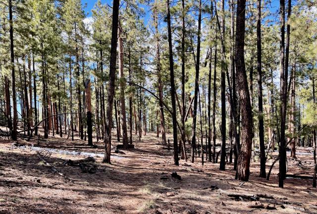
A view with no snow

The trail continued its climb up a long ridge. The highest point was about the same elevation as where Zigzag and I camped last night.

By now, the snow was nearly gone on the ridge. There wasn't any to be seen in the wide valley below.

Entering a burnt forest

The trail made a three-mile descent from the top of the ridge, then began a steep climb to go up the flank of Wagontongue Mountain. Zigzag had more energy for this climb than me, and he was soon out of my sight.

The pine tree forest at the bottom of this mountain was burned in the Divide Fire. That was one of several that happened in the southwest in 2003.

A view of Tularosa Mountain and Slaughter Mesa

I didn't begin descending the other side of the mountain until nearly 6:30 p.m. About three miles remained to where Zigzag and I planned to stop.

There was no time to waste, but the view was nice enough that I wanted to pause for a moment. I could see Tularosa Mountain, which stood about four miles north with its 800-foot prominence. Behind it was Slaughter Mesa.

Zigzag and I planned to stop at the bottom of this descent where the trail intersected with a forest road. We guessed this would be flat enough to pitch our tents.

When we arrived there, it wasn't what we hoped. The time was getting late, though, so we searched for several minutes and found a suitable spot.

I didn't have a lot of water left in my water bottle. The next source for more was roughly four miles away, so I rationed what I had tonight. I'll wait for breakfast in the morning until I reach the water.

I see something of myself in everyone
Just at this moment of the world
As snow gathers like bolts of lace
Waltzing on a ballroom girl

This trail report was published on