
Day 18 Lower Forney Creek to Deep Creek
More from this trailWe're on a road to nowhere
The Benton MacKaye Trail has been on my mind for many years. I've intended to hike it for nearly as long as I planned to thru-hike the Appalachian Trail.
For a time, in fact, I thought of thru-hiking the BMT as a shakedown hike in preparation for the AT. I had not yet hiked longer than a week at a time. Hiking the BMT seemed like a good way for me to make sure I could and wanted to hike long-distance trails.
I could never figure out a way to do that within my limited vacation time. Trying to squeeze a 300-mile hike into two weeks didn't seem possible, especially because I would have to walk 20 or more miles a day for most of the hike.
So I put the BMT on the backburner of my hiking plans, where it sat until now. After already completing more than 5,000 miles of hiking, I'm sure I'm enjoying this trail a lot more than I might have as a first long-distance hike.
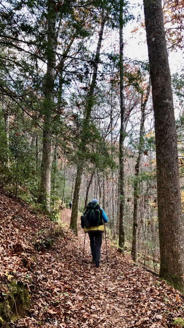
Leaving Forney Creek
Temperatures were mild again last night. The clouds that moved in late yesterday probably helped with that.
We began hiking at 7:30 a.m. Right away, the trail passed a junction with the Forney Creek Trail and started a climb up a ridge. We were now hiking away from Fontana Lake and would not see it again. From here, the Lakeshore Trail continued for just 3.7 more miles.
If we had turned onto Forney Creek Trail, we could have followed it for about 12 miles up to the Appalachian Trail at Clingmans Dome. I was glad we didn't have to do that, though. That would require climbing more than 4,000 feet in elevation.

A view of Lower Forney Creek Campsite
The trail doubled back after the junction, and as the climb continued, we could look down to where we camped last night. The wide, flat space along the creek seemed like an obvious spot for a logging camp.
The Norwood Lumber Company owned this part of the Smokies starting around 1906. Tracks for an eight-mile railroad were laid here in 1909 and 1910, running from the town of Forney to Andrews Bald. The town is now submerged under Fontana Lake.
Norwood removed up to 40,000 board feet of lumber a day until 1915, when a fire swept through the forest. The land was sold in 1929 as plans to develop a national park were underway.
Besides the railroad, the lumber company also used steam donkey engines to haul timber up the mountain. I described equipment like this in my PCT thru-hike. A boiler from one of these engines can be found a few miles up the Forney Creek Trail.

The Road to Nowhere tunnel
When we came to a tunnel, we were at the end of the Lakeshore Trail. This was also the end of a failed project to build a road along the southern boundary of the park.
When Fontana Dam was completed and the Little Tennessee River valley was flooded to become Fontana Lake, much of N.C. Highway 288 was inundated by water. Hundreds of residents in this area were forced to leave their homes when the land was turned over to the National Park Service.
The Department of the Interior promised the residents to build a new road through the park, which would restore access to the family cemeteries that dotted the land of their former homesteads. The road would extend more than 30 miles from Bryson City along the north shore of the lake.
The promise came with no funding from Congress. By the 1970s, only about 7.2 miles of the road had been constructed, which ended here at the tunnel. The project stalled at that point when environmental issues made its completion impractical, and it became known as the Road to Nowhere.
The unfinished road remained a broken promise for 70 years until the government finally agreed to pay Swain County $52 million instead of completing the road.

Tengo Hambre walks through the tunnel
The tunnel was a quarter-mile long, which was long enough to make walking in the middle almost dark enough to need a headlamp. The roadbed was smooth, though, so there was nothing to trip over. I just followed the proverbial light at the end of the tunnel.

Lakeshore Drive
Leaving the tunnel, we followed Lakeshore Drive – the finished section of the Road to Nowhere – a half-mile to a bridge that crossed Noland Creek.

Overlooking the Noland Creek Trail
While crossing the bridge, I could see Just Awesome was ahead of Tengo and me. He was crossing Noland Creek on another bridge.
The trail then exited the road on the other side of the bridge and looped around to go under it.

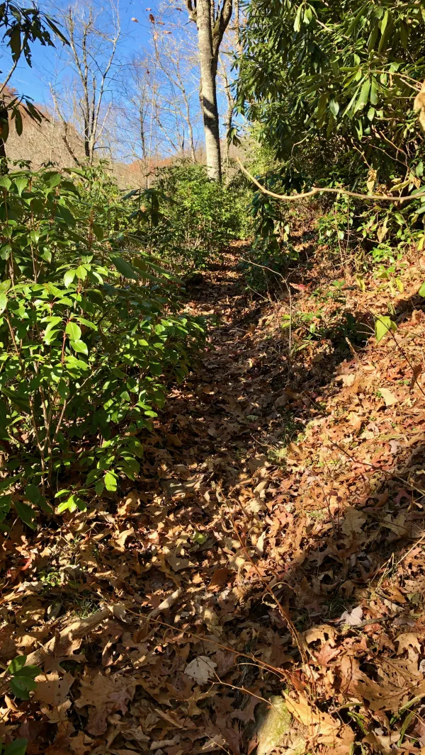
Noland Creek Trail
The BMT was now following the Noland Creek Trail. The first several miles of this trail used the path of an old logging road.

Noland Creek Trail
The trail took us on a steady, easy ascent as it followed the creek upstream for the next 9.4 miles.
The creek and the trail were named for the Noland family, who lived in the area before the national park was created. This section wasn't added to the park until TVA turned over the land when Fontana Dam was finished in the 1940s.

Tengo talks fishing
The trail made several more crossings of the creek. At one of these, we met two men who were fly fishing.
Being a fly fisherman as well, Tengo immediately became engaged in a conversation about the stream, fish, and such. I'm not a fisherman and had nothing to add to the discussion, so I told the two men, “After 10 minutes, please tell him he needs to leave.“ They laughed and agreed to keep Tengo on his task.

Campsite 64
Campsite 64 was a short distance up the trail. Seeing a picnic table there, I decided to stop for a break and wait for Tengo. I didn't have to wait long before he caught up.

Crossing Noland Creek
We had three more footbridges to cross as we continued up the trail. Each one was smaller than the previous one.

Crossing Noland Creek on a narrow log footbridge
The last of the footbridges was a narrow log that bounced as we crossed it. I waited until Tengo reached the other side before I followed.

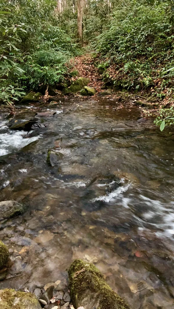
Eating lunch at Noland Creek
The trail continued to zig-zag across Noland Creek, but now without bridges. We had to ford across because there were no rocks or logs to hop across.
We stopped for lunch when we reached the first of these crossings. I spread out my quilt on a rhododendron bush to dry while I ate.

Fording Noland Creek
I had been carrying water shoes for this week of the hike because I knew there would be several streams to ford. For the first part of today's hike, they didn't seem to be worth the extra weight.
We knew a second ford was just six-tenths of a mile past the first one, so I just left my water shoes on to walk to the next crossing.

Fording Noland Creek
The next one was more like wading up the creek than across it.
On the other side, I was in the middle of putting my hiking shoes back on when Just Awesome called back to let us know there was yet another stream crossing. We hadn't known about this one because it wasn't marked on our trail app.
A steep climb on the Noland Creek Trail
The climb we started when we turned onto Noland Creek Trail was now getting steeper. There were fewer trees, too. A clear sky made the climb hotter.
The trail climbed to Upper Sassafras Gap. This was the first spot above 4,000 since we entered Joyce Kilmer-Slickrock Wilderness on Day 13.
From here, the BMT followed the Pole Road Creek Trail. The trail dropped nearly 1,800 feet in the next 3.3 miles.

A blowdown mess
Descending from Upper Sassafras Gap was nothing like the climb to it. The trail was filled with bad blowdowns, and was covered with water and mud in several spots. It was a mess.

A stream crossing
The descent included several crossings of the creek and feeder streams. At one of the stream crossings, I slipped on a log while attempting to hop across, and I landed with both feet in the water. Before long, I did the same thing again.
Pole Road Creek
Continuing on the descent to our campsite, the trail was overgrown in several spots. There was also more mud, plus blowdowns and streams to cross. After walking such an easy hike so far in the park, it seemed odd and was certainly frustrating to find this section so difficult.
By the time I reached the last stream crossing, I was in a bad mood. This crossing had no rocks to hop across. My feet were are already wet by now, so I didn't bother to stop and put on my water shoes.
JA was waiting for me when I arrived near a log footbridge that crossed Deep Creek and the trail leading to our campsite. There were three campsites in the vicinity, and he pointed me in the right direction to the one we had reserved.
The sun hadn't set yet, but by now, surrounding ridges made the site dark early. The campsite had an old picnic table. It was rickety, but we were glad to have it as we prepared dinner in the dark.
Well, we know where we're goin'
But we don't know where we've been
And we know what we're knowin'
But we can't say what we've seen
And we're not little children
And we know what we want
And the future is certain
Give us time to work it out
We're on a road to nowhere
Come on inside
Takin' that ride to nowhere
We'll take that ride
This trail report was published