
Day 11 Tate Gap to Brookshire Creek
More from this trailGot some things to talk about
Overnight temperatures dropped to around freezing. The cold wasn't a problem, though, because I stayed warm sleeping in the same quilt and inflatable pad I used on the PCT.
I also remembered to tuck my water filter inside the quilt. This was necessary to prevent it from freezing. If a water filter freezes, it becomes useless in blocking parasites.
Regretfully, I couldn't remain in my cozy quilt until the sun came out. I had to leave its warmth so I could begin hiking at a reasonable time.
Still, I knew our mileage for today would be short. There was no need to rush.
We were hiking a shorter-than-normal distance because there weren't many suitable campsites on the next stretch of trail.
That happens sometimes, and when it does, your mileage goal has to be adjusted accordingly. Sometimes you hike farther, sometimes shorter. For today, we chose shorter.

Tengo Hambre and Polecat pack their gear
Just Awesome was the first to leave camp this morning. Polecat and Tengo Hambre were slower but not as slow as me. I needed more time because I had difficulty staying warm while I packed my gear.
Of course, if I had been faster and begun walking sooner, I would have probably warmed up sooner. That logic evaded me.

A climb without a view
The sky was clear, but the low morning sun failed to raise the temperature much as I set off for the first climb of the day. I walked briskly to stay warm, and it didn't take long before I caught up to Tengo.
I eventually warmed enough to take off my insulated jacket, but even then, I was a little colder than I wanted to be.

A view that includes Blood Mountain
The trail took us over a mountain called Cantrell Top. The summit was at 3,604 feet, and the North Carolina-Tennessee state line bisected it.
A small opening in the trees a couple of miles past Cantrell Top offered the first good view since yesterday afternoon. Because of the clear morning air, I could see as far as Blood Mountain in Georgia, which was nearly 40 miles away.
Seeing Blood Mountain brought back memories of the third day of my 2017 AT thru-hike. The weather that day was much different than today. After descending the mountain, I arrived cold, wet, and miserable at Mountain Crossings. Then in a fortunate occurrence, two hikers I had just met the day before asked if I wanted to share a cabin with them.

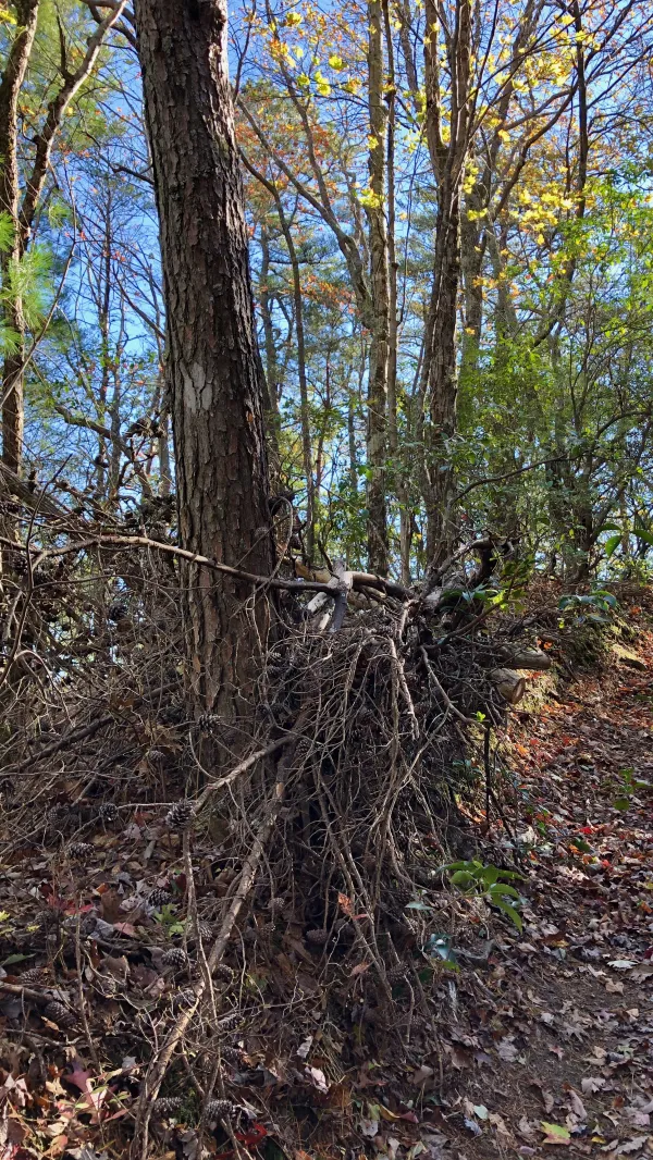
An old forest road
For much of the morning, the trail followed an old forest road. Or at least a map said it was a road. It was so rutted and worn, it wasn't suitable for most vehicles.

A road switchback
A lack of signs or blazes marking the correct direction to take at trail junctions and road crossings has been a common problem on this trail. That was true this morning.
A faded blaze was hard to see
At one particular junction, the trail was marked but just barely. It took some searching to find a faded blaze painted on a tree a few yards up the trail.
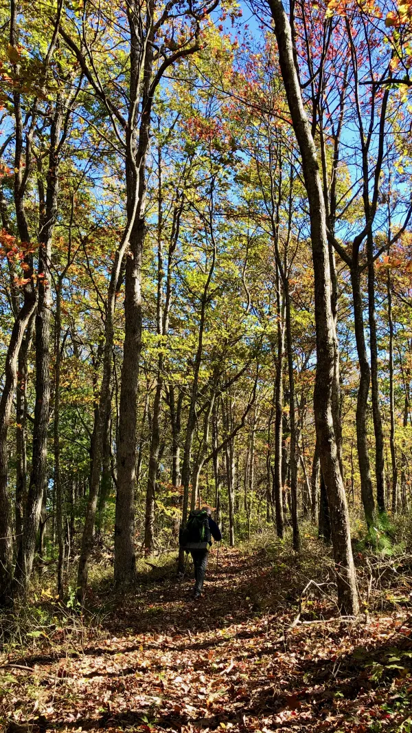
Tengo Hambre on the Benton MacKaye Trail
Later in the morning, Tengo and I caught up to Polecat. We walked together for the remainder of the morning.

Polecat and Tengo Hambre stop to talk
To put it more accurately, Tengo and Polecat walked and talked together. They often became so involved in their conversation they stopped in the middle of the trail to talk.
I was less talkative, staying more focused on the footpath. It was covered in leaves, and I didn't want to twist an ankle while stepping badly on a rock or root.

Polecat and Tengo Hambre on the Benton MacKaye Trail
We continued hiking together until 1:30 p.m. We still hadn't caught up to Just Awesome, but by that time, we were getting hungry. We were ready for lunch, so we stopped and ate without him.

A tunnel of mountain laurel that looks like an arbor
Back on the trail after lunch, Tengo and Polecat continued their conversational walk. Or maybe it was a walking conversation. Either way, I fell behind them and enjoyed the silence of the forest.
The trail climbed a mountain called Rocky Top. This one was 4,010 feet high and was not the one that inspired the song played dozens of times at every University of Tennessee football game. That mountain is in Great Smoky Mountain National Park, and the AT crosses it.
Add this Rocky Top to the long list of mountains, knobs, and tops named "Rocky" in the Southern Appalachians.

Polecat and Tengo Hambre stop to check directions
After not seeing them for a couple of miles, I saw Polecat and Tengo walking toward me and instantly knew what had happened. They had become so involved in their conversation they missed a turn and continued up a different trail. By the time I saw them, they had already realized their mistake and were backtracking to the BMT.
For the rest of the way, I tried to keep them in sight so they wouldn't wander off the trail again. They also seemed to take more care to make sure they remained on track.

A fallen log used as a bridge over Brookshire Creek
The trail began a long descent from the top of Rocky Top. Before long, it met with Brookshire Creek and followed that for much of the way down.
The trail crossed the creek a couple of times and often came within a few feet of it. One of the crossings went over a fallen log. Some of the tree's bark had rotted off, and if this had been a rainy day, the log would probably have been slippery. Today was dry, so we had no trouble crossing it.
We planned to camp at the only campsite shown on the map along the creek. There were other campsites marked about five miles farther up the trail, but they were not near water. Rather than stay in a dry camp, we elected to stop after hiking a little under 12 miles.

Just Awesome sits by the fire he built
When we arrived at 4 p.m., Just Awesome was there, relaxing by a fire he had built. He said he had been there since 1:30.
No wonder we hadn't seen him all day. After getting an early start, he didn't have to hike especially fast. It helped that we just hiked much slower.
Though there were good flat spots to pitch our tents, several dead trees stood over some of them. We had to be selective in where we set up.
We won't be able to be so slow when we pack up and go tomorrow morning as we were today. That's because we will have to go off-trail about 1.5 miles to pick up the food we had dropped off at Green Cove Store & Lodge. After that, we'll have a big climb of nearly 3,000 feet.
Come hear Uncle John's Band, by the riverside
Got some things to talk about
Here beside the rising tide
Come hear Uncle John's Band, playing to the tide
Come with me or go alone
He's come to take his children home
This trail report was published