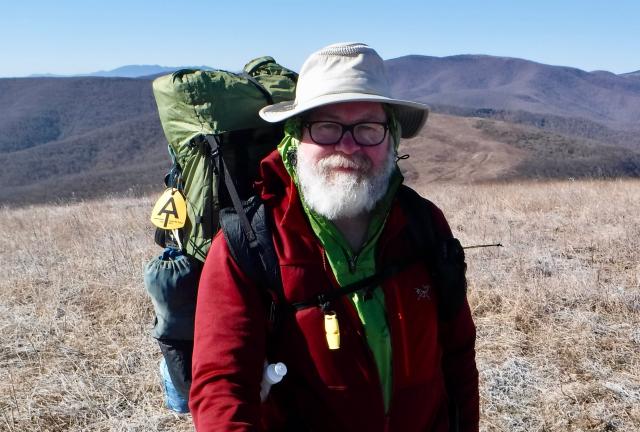
On Big Hump

Tell me why, tell me why is it hard to make arrangements with yourself?

Training Hike, Carvers Gap to U.S. 19E

Saturday, February 25, 2017

The plan for this weekend was to get in one last overnight training hike.

The plan was for it to be the first test in cold weather of my full sleep system, and to make sure all of my other gear was fit for a thru-hike.

The plan was to confirm I was prepared, that I was physically and mentally ready to hike from Georgia to Maine.

There wasn't much about this weekend that went as planned.

Weather Sunny, windy and cool during the day, with gradually clearing skies and a high temperature in the upper-50s.
Trail Conditions Muddy in several places. Well maintained.
Today's Miles 7.8 miles
Trip Miles 7.8 miles

When I speak of a plan, I'm not just talking about a few vague notions of what might happen. I mean I worked out what I wanted to happen. I often have a backup plan in case it doesn't go that way.

My weekend backpacking plans started to go awry before I even left for the trail. I went to see my doctor a couple of days beforehand to get a routine checkup. This seemed like a good idea before starting my thru-hike.

Any time I have gotten a physical before, the doctor has said to me, "I can't find anything wrong with you." I've always replied with something lame like, "That's what you get for good, clean living."

This time, the checkup didn't go according to plan, and I didn't have a backup plan for it. Instead of following my script, the doctor said, "You may need a hernia operation before you start your hike."

No! I didn't plan for this! The plan has always been for me to start hiking from Springer Mountain on March 7. That's less than two weeks away.

As things stood now, I wasn’t just without a backup plan. I had no plan at all because I needed to wait a week until I could see a surgeon to confirm the diagnosis.

I had to reconcile what to do next as I started my last training hike. It was supposed to be a chance to confirm I was ready to go, yet now everything was in question.

If there were any consolation, it was that the backpacking trip was on one of my favorite sections of the Appalachian Trail. I would be hiking northbound from Carvers Gap to U.S. Highway 19E. This section of the trail covers some of the most breathtaking scenery in the southeast.

In my original plan, I would be hiking this section again in one month. Now I didn't know when I would return here. I didn't even know if I would be hiking northbound, or if I would need so much healing time I'd have to put off the hike to late spring and go southbound.

I even thought about hiking the Pacific Crest Trail instead, which was crazy considering how many years I had only thought about the AT.

Of the dozen or so times I've hiked the Roan Highlands section of the AT, the weather has never been the same. Sometimes it has been brutal, with snow, sleet, rain, high winds, and bitter cold. Sometimes it has been lovely. I've experienced it all while hiking this section of the AT. I knew to prepare for those conditions and I hoped they would be bad enough this time to give me a good test.

When we arrived, we had bright sunshine and pleasant temperatures, not what I expected.

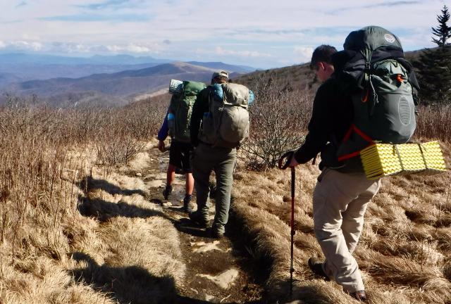
I was hiking this weekend with four boy scouts and three other adults. Our troop makes this trip annually, and it is usually one of the most popular activities of the year. I don't know why, but this year's turnout was much lower than usual.

For me, the small group size was a good thing. It meant there would be fewer reasons to slow down or take unnecessary breaks, which often happens with larger groups.
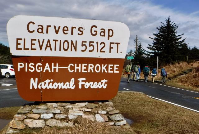
Carvers Gap

Carvers Gap sits on the Tennessee-North Carolina border, as does the trail for much of this section. We parked our cars there and then crossed the road to begin hiking.

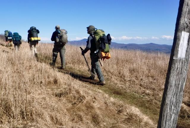
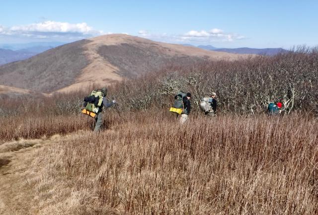
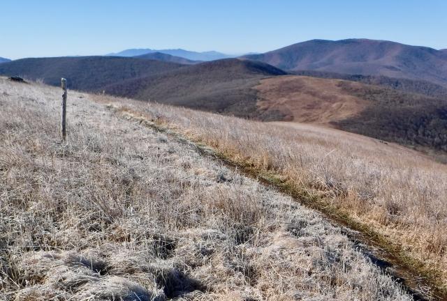
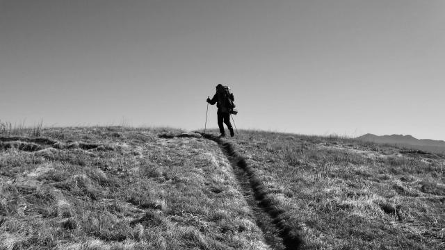
Crossing a bald

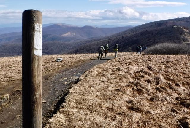
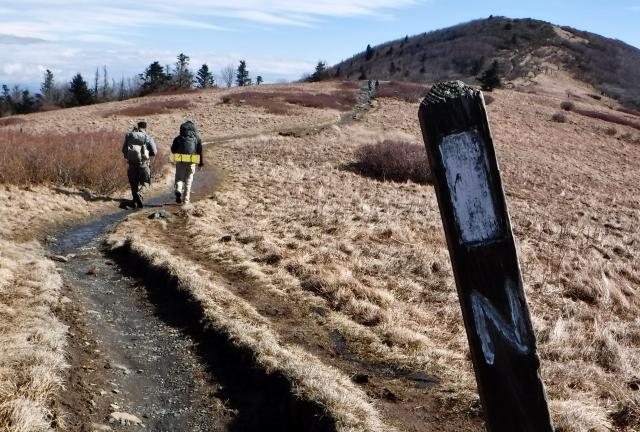
The AT went over two balds in the first two miles. Balds are mountaintops with little vegetation other than grasses and shrubs.

Crossing the bald

A bald isn't above the tree line, such as you find at higher elevations or more northern climates. There is a lot of dispute as to what causes balds to exist where other nearby mountains are tree-covered.

Distant view

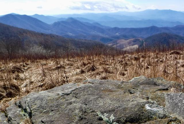
Round Bald and Jane Bald provided 360-degree views.

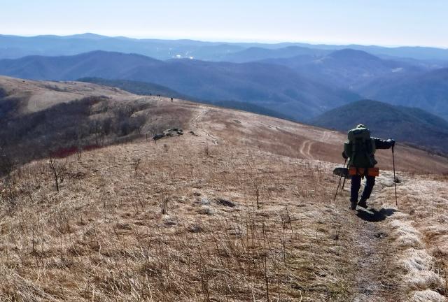
Continuing down

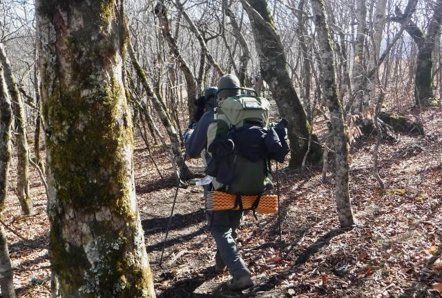
Instead of climbing the highest bald, called Grassy Ridge Mountain, the trail veered to the left and descended into a forest.

On Yellow Mountain

When I first began hiking this portion of the trail 18 years ago, the trail made a steep, straight descent down the mountain. That caused a significant amount of erosion.

Short sections of the trail were relocated in recent years. They weren't moved far away but the new sections avoid the erosion problems from overuse and poor drainage. They take less steep descents with switchbacks and other design features.

Fence line

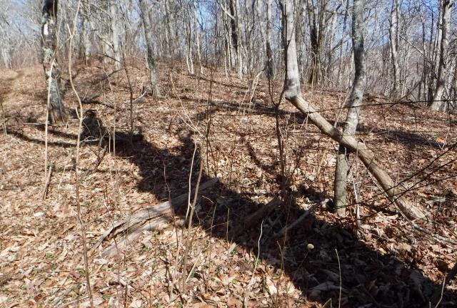
When the trail went over Yellow Mountain, old fences could be seen. At one time, they marked the property of landowners. The land is now protected for the AT by the U.S. Forest Service and is no longer privately held.

Though not directly obvious, the trail also zig-zagged across the state border. It was difficult to tell at any given point if I was walking in Tennessee or North Carolina.

Overmountain Shelter

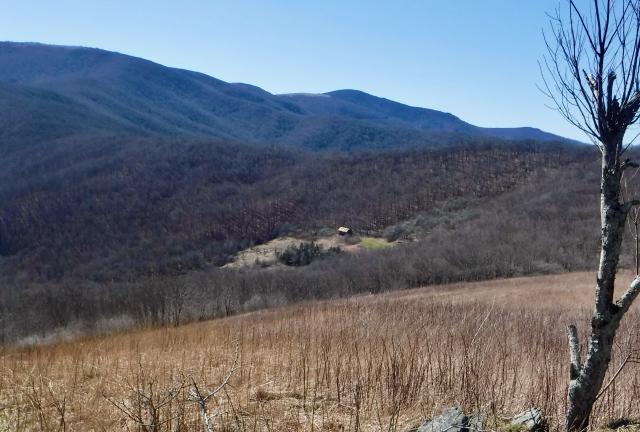
After crossing Yellow Gap, we began a long climb up Little Hump Mountain. Though the climb was steep at times, a rewarding view of the valley below was available anytime we wished to stop and look behind us.

Included in that view was the Overmountain Shelter, which is where the scouts have camped during some of their trips here.

Crossing Little Hump

There were at least three false summits on the climb. The is an annoying illusion that makes you think you're near the top, only to discover once you get there that you have much more climbing to go.

View of Big Hump

Just before the trail turned to go down the other side of Little Hump Mountain, there was one last view of tomorrow's big climb, Big Hump Mountain.

Hiking to Bradley Gap

The saddle between the two humps held a forest of beech and locust trees. This was our destination for the night. We arrived at about 3:30 p.m., with plenty of daylight left to set up our tents and collect water from a nearby spring.

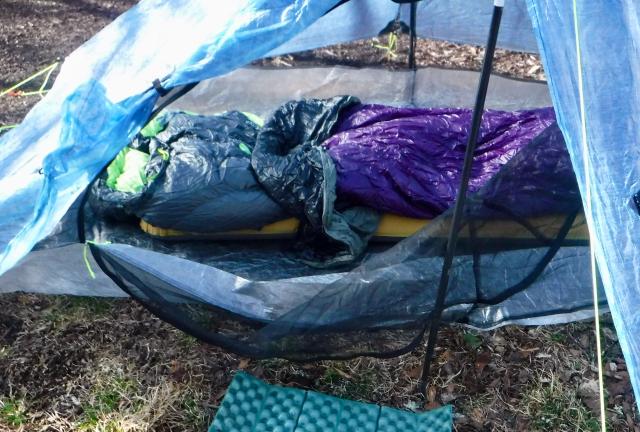
Inside my tent

After setting up my tent, I prepared my sleep system for a final test. Although calling it a system may seem a bit pretentious, I think of it as one. It's a collection of items assembled to work together and provide the most possible warmth with the least possible weight.

That was my plan, anyway. Like most of my other plans, it didn’t go well.

The system I intended to use on my thru-hike started with a thermal layer of clothing that was never to be worn while hiking. I always wanted these clothes to be dry.

My sleeping pad was going to be an Exped Synmat UL 7 M (now discontinued), which provided insulation and padding to smooth over the rough ground.

Two pieces were added to this system for flexibility and comfort in a wide range of temperatures. Together, they weighed barely more than two pounds.

The first layer was a Marmot Plasma (now discontinued) down sleeping bag, which was rated at 30º F.

The second layer was an Enlightened Equipment Prodigy (now called Revelation) synthetic quilt, which is rated at 50º F.

Each layer could be used separately, or when the temperature dropped, could be used together. Enlightened Equipment says pairing two layers like this results in a warmth rating of 10º F. I hoped to test this tonight.

Of course, any system is likely to fail if one piece doesn't perform as planned, and that's what happened as soon as I crawled into bed. The air mat deflated.

I attempted a couple of times to re-inflate it, but I quickly sank to the cold ground. Conduction physics being what it is, I suffered through a miserable night as the outside temperature quickly dropped to the upper teens.

As if to heap upon my misery, I discovered at about 2 a.m. my water filter had rolled outside my sleeping bag. It was supposed to be with me inside to keep it from freezing. Somehow it had fallen out.

When a water filter freezes, ice crystals form and expand. That ruins the fine membrane used to trap nasty bugs like Giardia and Cryptosporidium.

There's no way to know for sure that happened, but I won't want to risk that it didn't. I'll have to replace the filter, which costs $54.

Weather Overnight low around 18º F. Daytime temperature climbed to the upper-40s with clear skies
Trail Conditions Some mud and a few patches of ice on the north side of Big Hump. Well-maintained trail all the way down.
Today's Miles 7.0 miles
Trip Miles 14.8 miles

If I wasn't completely in a funk by now, the morning took care of that for me. It was so cold my toes started to feel like they were encased in ice cubes.

Then I spilled coffee down my front.

I was sore and tired. I felt incompetent as a hiker. Worse than that, I began to question why I wanted to hike 2,190 miles. Hiking just 14.8 was making me think about being in a warm, comfortable house and spending time with my loving wife.

This was not part of the plan at all.

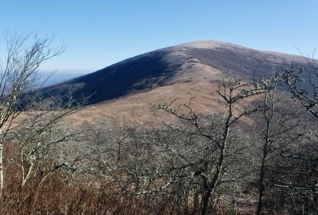
Big Hump Mountain

Then as we started walking on the trail and I turned a corner, Big Hump came into view. Seeing it ahead, I remembered why I was here. I knew why I wanted to hike 2,190 miles through cold and rain and aches and loneliness.

It was because I don't see magnificent views like this from my couch. I don't breathe clear, crisp air while driving somewhere in my car.

These are the experiences that make me feel alive. Even the pain of those experiences is a reminder of being alive.

I had stood on this spot many times before, but I realized I want to repeat moments like this again and again.

The view back to Little Hump from Big Hump

On the walk up the mountain, I spotted deer running around on top. As I got closer to the summit, I looked back to see all the way to where we had started our hike yesterday.

Gravity standing on Big Hump

Yes, this is where I wanted to be.

Heading down off the mountain

I've lost track of how many times I've stood on Big Hump, but I knew as I stood at the top this time I would be returning soon.

And though in the course of walking the entire Appalachian Trail I will stand on hundreds of mountains, this one will always be special to me.

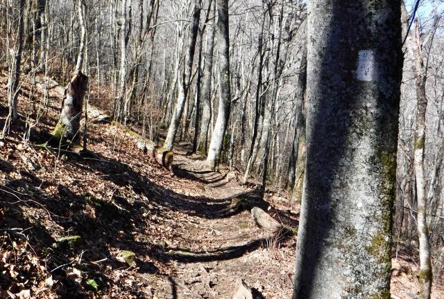
Re-entering the forest

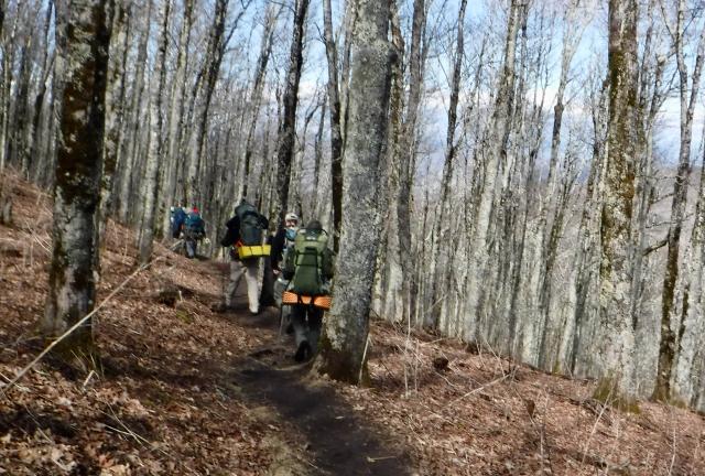
The trail coming down off the mountain was not too steep at first. It was a bit muddy and icy in spots but didn't pose a problem. Later, after crossing Doll Flats, the trail became steeper for a couple of miles.

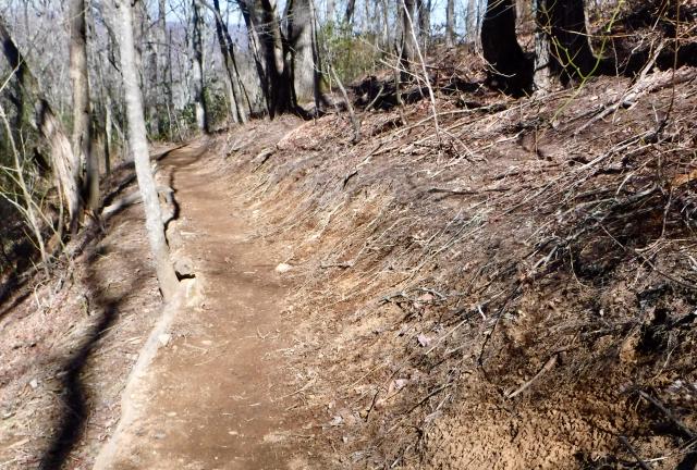
Recent trail work

As we got closer to the bottom, we walked on parts of the trail that were recently repaired by a crew from the Tennessee Eastman Hiking and Canoeing Club. Some videos of their work were posed just a few days before we walked this section.

I appreciated the hard work of that crew.

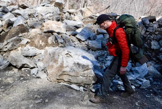
Ralph looking at rocks

Once we all reached the highway, my friend Ralph and I walked down to Mountain Harbour Bed & Breakfast and Hiker's Hostel. We had to take a slight detour, though, because Ralph has a degree in geology and he wanted to look at a pile of rocks on the road. They were remnants of a rock slide that fell last year.

After arriving at the hostel, owner Dave Hill gave us a shuttle ride back to Carver's Gap.

At this moment, I don't know when I will be able to attempt a thru-hike of the entire trail. This weekend trip didn't go as planned, but it accomplished the big goal I had in mind. It confirmed I'm ready and able to do it.

Sailing heart-ships thru broken harbors
Out on the waves in the night
Still the searcher must ride the dark horse
Racing alone in his fright.

Tell me why, tell me why
Is it hard to make arrangements with yourself,
When you're old enough to repay but young enough to sell?

This trail report was published on