Wildflowers near Camp Creek Bald

The black throated wind keeps on pouring in

Day 24, Little Paint Creek Trail to Jerry Cabin Shelter

Thursday, May 4, 2017

Apparently the three bears that walked through the campsite Rafiki and I shared last night didn't have second thoughts and return for our food. The bear bags we hung remained where we left them.

As I began to pack up and head up the trail, trees were swaying even more than they had yesterday. The wind was definitely picking up.

From behind me I heard a loud crack and a thud. Somewhere near the trail, but a hundred or so yards away, a large branch from a tree fell to the ground.

Weather Dark, dreary and chilly; becoming increasingly windy, with gusts of up to 50 mph
Trail Conditions Mostly easy and well maintained, though a few blowdowns resulted from high winds
Today's Miles 14.1 miles
Trip Miles 300.3 miles

The trail made an easy ascent from the gap where we had camped, then dropped down gradually to Allen Gap.

Although I have hiked a number of times in this part of North Carolina and Tennessee, I had not been on this part of the AT before. It was easy walking, and the wind made things more interesting in an otherwise ordinary section of trail.

Where the trail reached the bottom of Allen Gap it crossed a highway near the state line. To the north was NC 208 and to the south was TN 70.

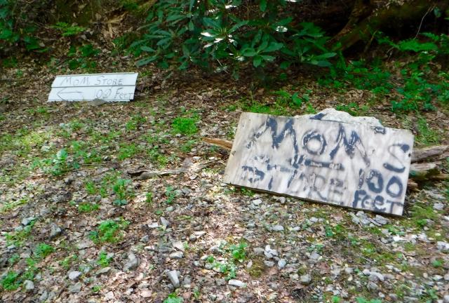
Sign for Mom's Store at Allen Gap

Near the highway were a couple of crudely-made signs directing hikers to "Mom's Store," about 100 feet to the north. Before reaching this point I had thought about checking out the store to buy a soft drink or snack, but seeing these signs convinced me the trip would not be worth it.

After I crossed the highway I stopped to eat a snack I was carrying. I figured a little calorie fortification would be good for the 2,500-foot ascent I was about to make.

Hobbes came along shortly after I had stopped. He said he visited the store and confirmed my suspicions. It was trashy.

"I thought I heard banjos playing," he said.

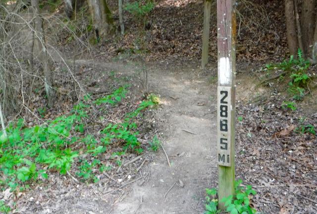
Trail marker

A trail marker here had a sign indicating the distance from Springer Mountain, but it was off by three tenths of a mile.

The climb out of the gap was smooth and steady, continuing just over five miles before reaching Little Laurel Shelter.

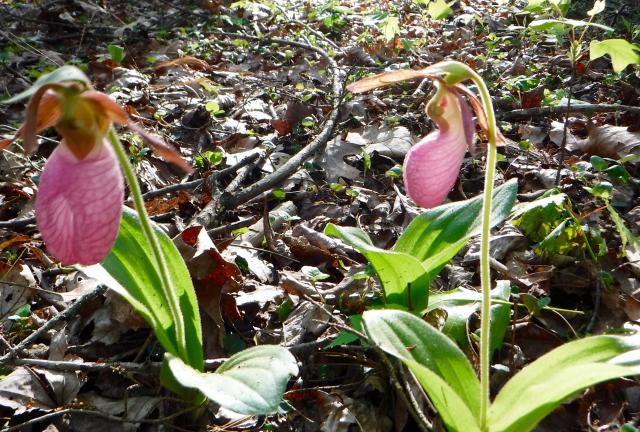
Pink Lady's Slippers

Along the way, I came across some more Pink Lady's Slippers. They were protected by a slope of the mountain, so weren't being battered much by the wind.

When I reached the shelter I was the only person there. I decided to eat lunch here, but it was hard to find a spot that was out of the wind. Because of the way the shelter was positioned, the wind blew right into the opening of this three-sided structure.

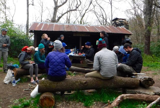
Before long several other hikers showed up. All of them did what I did, try to find a place to hunker down from the wind and stay warm.

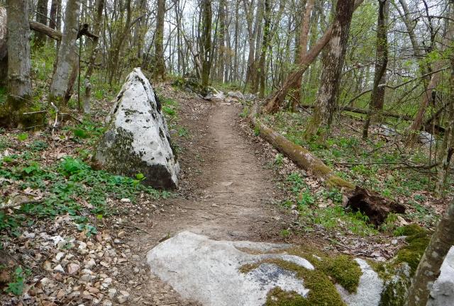
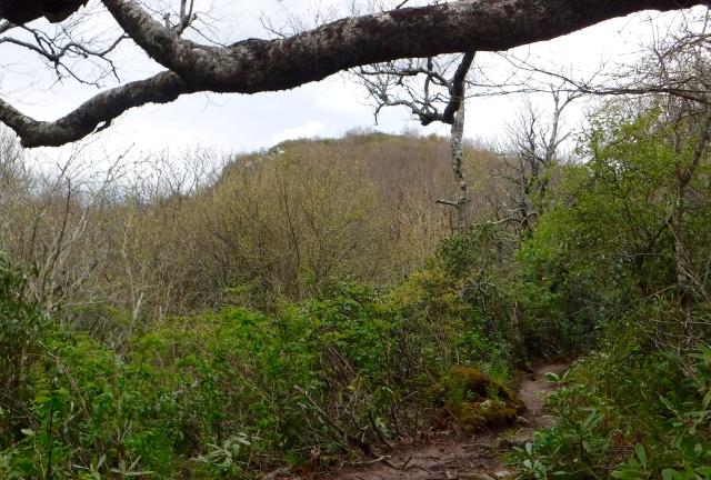
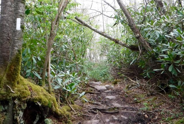
Trail near Camp Creek Bald

Leaving the shelter, the trail continued to climb another 1,100 feet. It was still an easy path to walk, despite a few more rocks along the way than before.

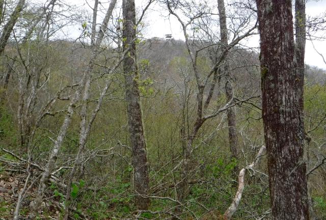
View of Camp Creek Bald

From a distance, I could see the summit of Camp Creek Bald. At one time the trail went over the top of this 4,844-foot mountain, but it no longer does and that's a bit of a shame.

On the top is an unusual, round fire tower, which was built in the 1960s as a prototype of future fire towers. Only one other such tower was constructed.

I don't know for sure why the trail was moved, but I'm guessing it had to do with all of the communication equipment that is located on and around the tower.

Old ski lift tower

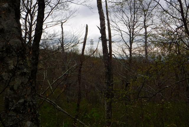
Later, I saw through the trees another tower. This was a remnant of the mountain's interesting history.

Many years ago, a strip mine was dug into the side of the mountain. Then in the late 1960s a group of investors tried to turn the site, then known as Jones Meadow, into a ski resort called Viking Mountain. A lodge, A-frame rental homes and yurts (round, tent-like structures) were built just below the ridge line.

The tower I saw was one of the ski lifts for the resort.

Unfortunately for the investors, the project was doomed from the start. The road to the top was never upgraded beyond a rough and windy gravel road, and there wasn’t enough snow to support a profitable ski operation. The ski slopes were only used one season.

The property changed hands several times. For a while it was used as a private playground of a wealthy oil tycoon, who was later convicted of fraud and sentenced to prison.

After several bankruptcies the U.S. Forest Service took over the land. Besides the ski lift tower, there aren't many remnants of the ski resort to be found here. One is a parking lot, which is now used by day hikers.

Broken Arrow

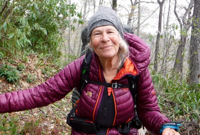
The trail leveled out on the other side of Camp Creek Bald. Near here I found Broken Arrow. The last time I had seen her was on my last day in the Smokies.

I was pleased to see her because I remembered she had been struggling to get through the Smokies. She was a slow hiker -- yes, even slower than me -- so she had to carry more food between resupply points.

Today she was in good spirits and seemed to be enjoying her hike. The weather and her pack weight didn't faze her.

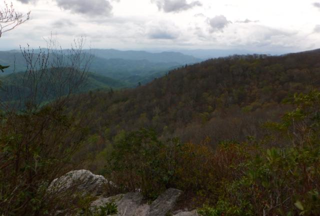
View from Whiterock Cliff

Where the trail was more open, not shielded by rhododendron, the wind was very gusty.

A short side trail went to a view point called Whiterock Cliff. As I stood there a wind gust knocked me backwards. It was fortunate that I was blown in that direction. If I had been blown a couple steps forward instead I could have fallen thirty feet or more down the side of the cliff.

It was at that point I decided I would not go over Big Firescald Knob.

Blackstack Cliffs

On the other side of the ridge and down the trail a bit was a short side trail to Blackstack Cliffs.

Despite its name, the rock is actually made of white quartzite. It just looks black from a distance.

This area provides a nesting area for peregrine falcons, some of the fastest animals on earth. Peregrines are capable of reaching speeds up to 200 mph.

Though they are one of the most widespread birds in the world, peregrines were nearly wiped out in the 1950s, 1960s and 1970s by pesticide poisoning.

Thankfully, after DDT use was banned and peregrines were placed on the Endangered Species List, their numbers rebounded. In fact, they recovered so well they were removed from the list in 1999.

I had been to Blackstack Cliffs a few times before, so I decided to skip the side trail this time. The weather was too nasty to make it worthwhile.

I also knew that rain had been predicted to start at 2:00 p.m., and by this time it was already 2:20. I wanted keep going to reach Jerry Cabin Shelter.
Rhododendron tunnel

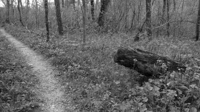
Walking was easier when the trail went through a rhododendron tunnel or was on the north side of the ridge line. It was still cold, though. I kept moving as fast as I could.

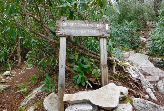
Bad weather trail

I soon reached the bad weather trail, a blue-blazed trail that I decided to take around instead of going over Big Firescald Knob.

I had been looking forward to going over the top because I had been here a few times before. The exposed ridge gives a 360-degree view, with mountains on the North Carolina side and a wide open valley on the Tennessee side.

The bad weather trail was originally the white-blazed Appalachian Trail, but when the Carolina Mountain Club constructed the trail over the ridge line the old trail became a blue-blazed alternate. With high winds and the threat of rain, I decided this qualified as the reasonable option to take.

I did have one regret, though. I realized I hadn't mentioned this trail to Broken Arrow. I hoped she would know to take it instead of going over the very rocky and narrow trail on the ridge line.

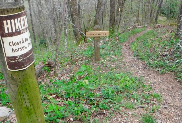
Fork Ridge Trail junction

The bad weather trail and the white-blazed trail rejoin about a mile and a half after they split.

Another mile and a half after that, I came to the junction of Fork Ridge Trail. I had used that trail in one of my previous hikes in the area to go up to the AT. It is a steep trail that connects to an historic part of Tennessee, Shelton Laurel.

I'll save that story for tomorrow.

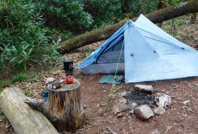
Tent set up near Jerry Cabin Shelter

I reached Jerry Cabin Shelter at 4:30 p.m. and quickly looked for a spot to set up my tent. The shelter was already full of hikers and many tents were set up nearby. Fortunately, there were several spots still available not far down the trail.

I found a reasonably flat spot that was close to a stand of rhododendron. This gave me a bit of a break from the wind.

Jerry Cabin Shelter

After dinner I chatted with a few hikers who shared their stories of hiking over Big Firescald Knob. They had elected to not take the bad weather trail, and it seemed many had regretted that decision.

Silvertoes told me she had to crawl over rocks a few times because she didn't have trekking poles, and standing was impossible without them.

Silvertoes also said another hiker was in tears because she was so afraid to walk in that section.

The predicted rain eventually did come, but not until 9:30 p.m., much later than expected. With that and the gale force winds, I was grateful to have my tent pitched so close to the rhododendron. I stayed dry and comfortable.

Now what's to found, racing around
You carry your pain wherever you go
Full of the blues, and trying to lose
You ain't going to learn what you don't want to know

So I give you my eyes, and all of their lies
Please help them to learn as well as to see
And capture a glance, whoa and make it a dance
Of looking at you looking at me

The black throated wind keeps on pouring in
With its words of a life that could almost be true
Ah, Mother American Night, here comes the light
I'm turning around that's what I'm going to do
Going back home that's what I'm gonna do

This trail report was published on