
Day 176 Rainbow Lake to Katahdin Stream Campground
More from this trailEverybody I talk to is ready to leave with the light of the morning
Except for the 5.2 miles we will hike tomorrow, today was Tengo and Stick's last day of hiking on the Appalachian Trail. After today, I will still have three more days of hiking before I can say I’m a thru-hiker.
These are thoughts we had for much of the day. They were unavoidable, even though we needed to focus first on hiking more than 21 miles today.
When we were in Monson, just before the start of the 100 Mile Wilderness, we were given information by an Appalachian Trail Conservancy volunteer about what we should expect for today. Now we were finally able to use that information.
I was glad to be armed with that knowledge. This was a full day and it was good to know going in what to expect.

Rainbow Lake at morning
We woke up this morning at 5 a.m. and were out of our tents before the sun came up.
We had camped last night at an unofficial campsite on the east end of Rainbow Lake. From there, the trail left the lake and went over a short hill.

View of Mt. Katahdin from Rainbow Ledges
The trail then led us up another hill to a spot called Rainbow Ledges. There was a large area of bare rock here, exposed by a forest fire early in the 20th century. The open area provided the first in a number of beautiful views of Mt. Katahdin we would see today.
Other mountains were also viewable from here, but we were only focused on one, the one we would be climbing tomorrow.
Stick and Tengo hiked on from here, but I stayed behind to call my wife Kim. I needed to confirm for her what I previously said might happen: we were going to summit Mt. Katahdin a day earlier than planned.
I hated to change plans because Kim and our sons were on their way to meet me at Baxter State Park. Our sons were planning to summit with me on Thursday, and now it was too late for them to change their plans.
She was already on the road, driving from our home in Tennessee when I called her. I knew she would be understanding, and she was, but I still felt badly.
What was important, though, was my family would be there to meet me when I came down from the summit, then we would go together to finish my hike in New Hampshire.
The last of the 100 Mile Wilderness
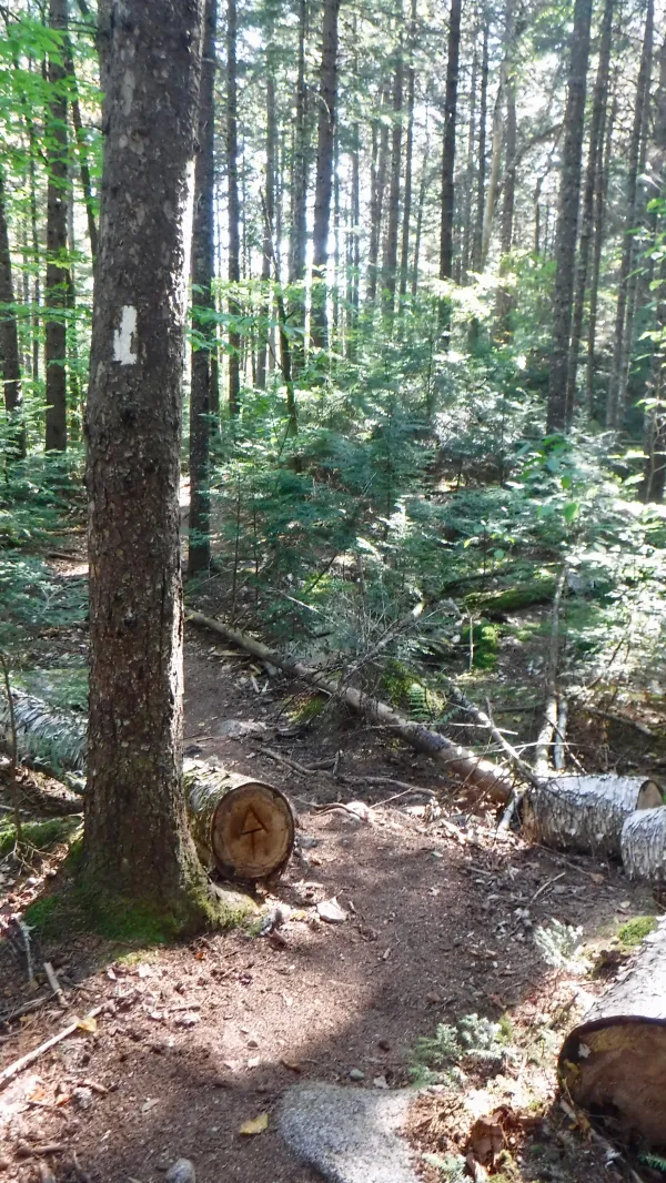
The trail remained easy to walk through the last part of the 100 Mile Wilderness.
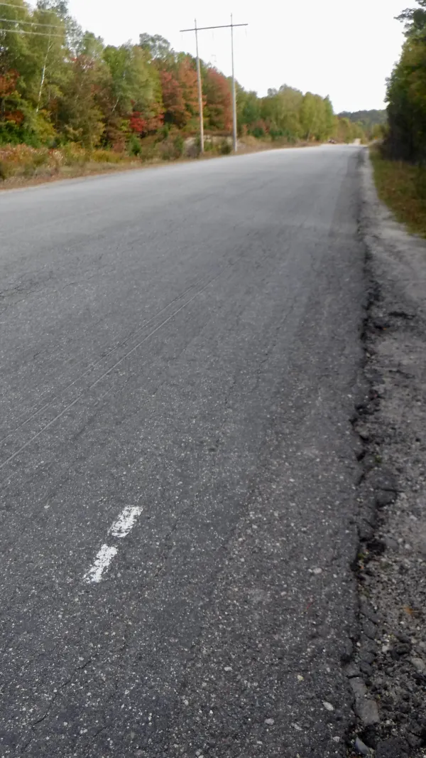
The Golden Road
I made good time and by 11:30 a.m. had reached the Golden Road, which leads to Baxter State Park. This was the end of the 100 Mile Wilderness.
Despite its glorified name, it is really just a logging road. It is a private road constructed in the early 1970s by the Great Northern Paper Company.
There was a six-tenths-of-a-mile walk along the road to Abol Bridge. Near the bridge, I met Jason's parents. They were there to pick up Jason, Boomer and Maple, and were planning to keep Maple tomorrow. Dogs are not allowed to go up Mt. Katahdin.
Just past the bridge was a small store and private campground. A restaurant was also located here, but it closed for the season at the end of September.

Gravel road
I bought a few snacks and coffee, and relaxed a short time with other hikers at a picnic table before moving on.

Another view of Mt. Katahdin
The trail followed a dusty gravel road, passing a pond that offered one more excellent view of Mt. Katahdin.
On the way into Baxter State Park, an employee was stationed to help hikers make reservations for Katahdin Stream Campground. He was able to communicate by two-way radio with a park ranger at the campground to make sure there was space available. The campground frequently fills up.

Penobscot River
For the next 9.1 miles the trail continued through the state park. For much of this distance the trail followed the Penobscot River and then Newsowadnehunk Stream.
The park was named for Percival P. Baxter, who served as Maine's governor from 1921 to 1924. Frustrated with the state legislature’s failure to create a park at Katahdin during his term in office, he purchased nearly 6,000 acres of land in 1930, then donated it to the state the following year. The donation came with a requirement that the land be kept forever wild.
Baxter is quoted as saying, "Man is born to die. His works are short-lived. Buildings crumble, monuments decay, and wealth vanishes, but Katahdin in all its glory forever shall remain the mountain of the people of Maine.”
He continued to buy and donate land for the park into the 1960s and left a trust fund to ensure that operation of the park was not embroiled in state politics.
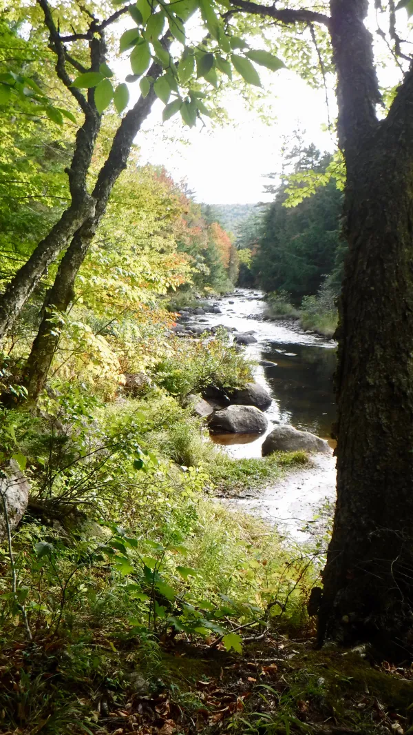
Looking back on Penobscot River
The trail was scenic and easy enough to walk that I was able to put my brain in neutral and just enjoy it.

Daicey Pond
After turning away from Newsowadnehunk Stream the trail passed a couple of ponds, the first of which was called Daicey Pond.
Cabins were available for rent here. They were privately operated until 1969, when they became property of the state.

Stick, Mechanic, Pippi and Gravity at Katahdin Stream Campground
When I arrived at Katahdin Stream Campground, I discovered that Pippi and Mechanic were there. They had just returned from the summit of Mt. Katahdin, and had waited at the campground long enough to see Stick and me. It was a joyful reunion and we congratulated each other on our accomplishments.
By now it was nearly 5:30 p.m. We had to make sure we checked in with the campground ranger before it closed, so we said our goodbyes to Pippi and Mechanic, then walked to the ranger’s cabin.
The ranger assigned us to a campsite and issued permit cards for going up Katahdin tomorrow, weather permitting. The three of us were assigned a campsite we shared with Sir Poopsalot. He was a thru-hiker who had been joined by his girlfriend, Carrina, for the 100 Mile Wilderness and tomorrow’s summit climb.
We stayed up talking past hiker midnight. Tomorrow was going to be a big day, but we seemed to know without saying so this was the last time we would be sitting around a campground picnic table just talking and joking around.
Everybody I talk to is ready to leave
With the light of the morning
They've seen the end coming down
Long enough to believe
They've heard their last warning
Standing alone
Each has his own ticket in his hand
And as the evening descends
I sit thinking about Everyman
This trail report was published