Stick leaving Dalton, Massachusetts

Shakin' all over

Day 119, Kay Wood Shelter to Cheshire

Monday, August 7, 2017

Four days ago temperatures were in the 80s. The calendar says it’s still summer, but the weather made a sudden turn today to fall-like conditions.

To point this out isn’t to complain about it. I would much rather hike in temperatures like today, in the 50s and 60s. Nevertheless, I was surprised by the drop in the temperature.

Today did not feel like summer, but I’m certain it will be back.

Weather Cloudy with rain starting in late afternoon, morning temperatures in the low 50s, high in the upper 60s
Trail Conditions Modest elevation changes and not many rocks
Today's Miles 11.8 miles
Trip Miles 1,577.5 miles

Now that I’ve caught up again with Stick, I’m content to follow his hiking plan for the next few days. He will be meeting his daughter in Bennington, Vt. on Thursday. We should be able to get there on Wednesday, which means a zero day is possible.

My last zero was more than three weeks ago, so taking one in Bennington seems like a good idea.

Looking at the trail ahead to Bennington, it doesn’t look especially difficult, with the summit of Mount Greylock being a highlight. For today, we have the unusual opportunity to walk through two towns.

Entering Dalton, Massachusetts

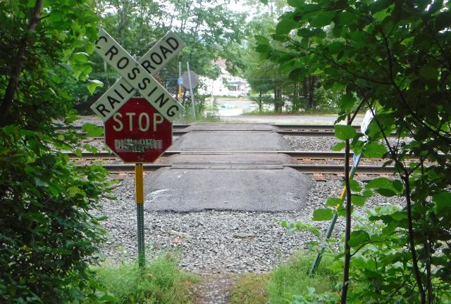
The first town came early in the day. After an easy, mostly downhill walk of less than three miles, I crossed a set of railroad tracks and entered the town of Dalton.

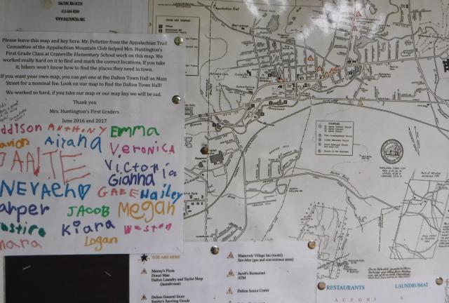
Map of Dalton, Massachusetts

On the other side of the tracks was a hiker kiosk. It had information about the trail and the town, some of which was annotated by first grade students from a local school.

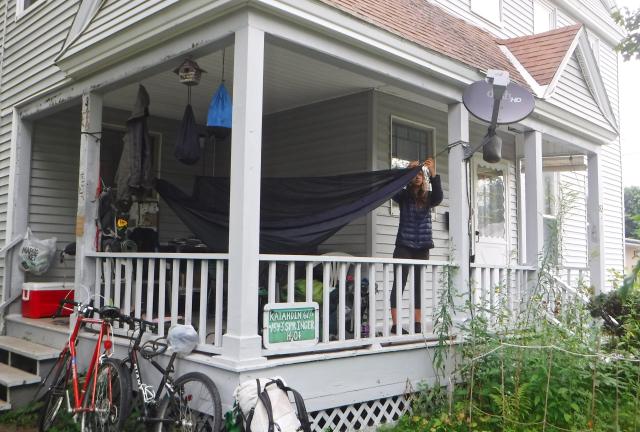
Tom Levardi's house

After walking a short distance into town I passed a house where a few hikers were hanging out. The house was owned by a trail angel named Tom Levardi.

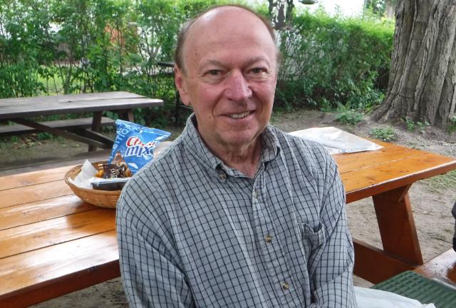
Tom Levardi

Tom is a bit of a trail celebrity because of his kindness and generosity for allowing hikers to camp in his yard. Even though I would not be staying here, I stopped to say hello to him.

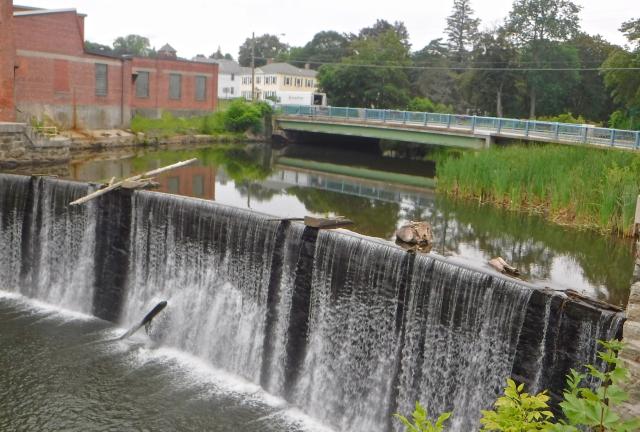
Dam on East Fork of the Housatonic River in Dalton, Mass.

The town is small, with fewer than 7,000 residents.

Paper mills have been located in Dalton for many years, originally being powered by the East Branch of the Housatonic River. That has provided the town one notable claim to fame.

Since 1873, a Dalton mill has been the only supplier of paper for United States currency.

The trail followed sidewalks in a residential part of town, which I continued to walk until I was about three-quarters of the way through town. Then I turned south and went off trail to the business district.

Before we left the shelter this morning, Stick, JP and I had agreed to meet at Dalton Cafe for a late breakfast. When I arrived there, they were already seated at a table and awaiting their food.

Stick and JP

After breakfast, Stick and I said “so long for now” to JP. He was planning to meet family members here in Dalton and was going to take a little time off the trail.

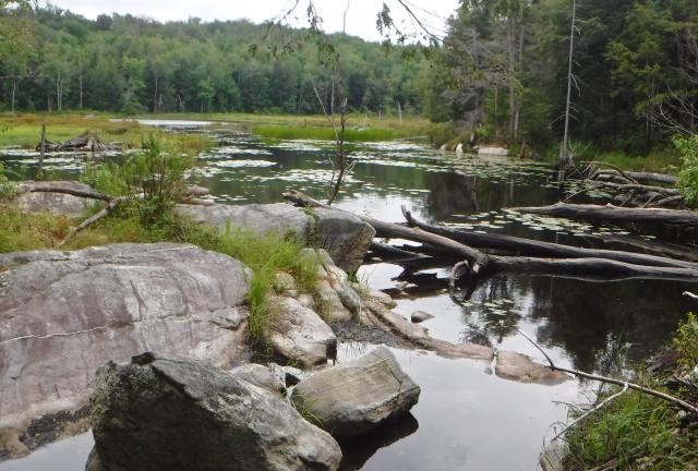
Gore Pond

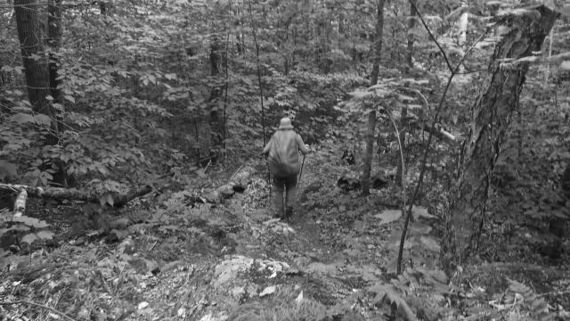
The remaining eight miles to Cheshire, where we planned to stop for the night, were not difficult. Almost immediately after leaving town the trail made a long, gradual climb up a ridge.

Along the ridge the trail passed a large beaver pond called Gore Pond. It’s generally felt that beaver ponds are not a good place to collect water because of a risk of contamination, so I didn’t here. Fortunately, there were plenty of streams on this ridge.

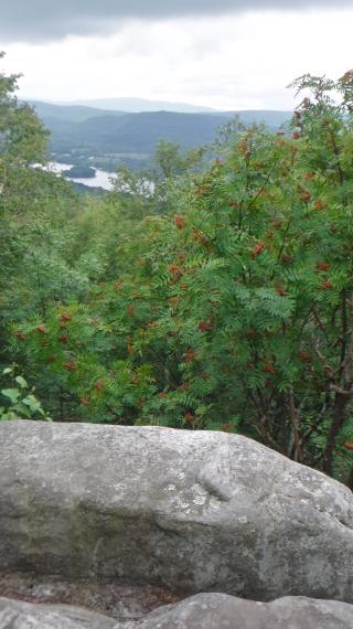
View from Cheshire Cobble

A spot called Cheshire Cobble was perched near the end of the ridge where the trail began a descent to the valley. It was a rocky outcrop that provided a view of the valley and the town of Cheshire.

From there it was just a mile more to reach the town. As I entered the town, it seemed rain was about to fall at any moment, but it held off for now.

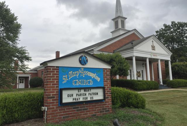
St. Mary of the Assumption Catholic Church in Cheshire, Mass.

Cheshire is about half the size of Dalton. Though there were no hotels or hostels here, it had enough of what we needed for the night.

After arriving at 4 p.m. I walked to St. Mary of the Assumption Catholic Church. Until recently, hikers were allowed to sleep inside the church, but that ended because of a zoning problem. We could go inside and use the restroom, but we had to be out of the building by 8 p.m.

Hikers were still allowed to pitch tents on the church lawn, so Stick and I set up ours. In all, nine hikers were camped on the lawn.

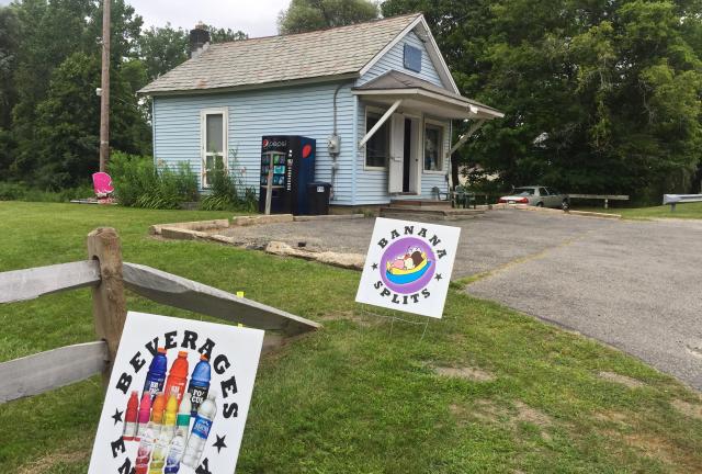
Diane's Twist in Cheshire, Mass.

Stick and I then walked down to Diane’s Twist, one of the few businesses in Cheshire. It was an ice cream shop with a limited food menu, but we were able to purchase from Diane tasty meatball sandwiches and milkshakes.

While we waited for our food, she told us she was a parishioner at St. Mary's, but she hadn’t heard that hikers were no longer allowed to sleep inside.

Diane didn’t have any indoor seating in her shop, so we sat outside at a picnic table. As we were finishing our milkshakes, a light rain began to fall. Between the rain, cold temperature, and milkshakes, Stick and I both began to shiver.

I was shivering so much my hand was shaking as I sipped the last of my milkshake, and I didn’t warm up until we began walking to another of the town’s few businesses, a Dollar General store.

On the way, we ran into Sunny Hedgehog. As I’ve mentioned before, his English is limited. He said the store was closed at 5 p.m., but I think something must have been lost in translation. We found the store was still open and were able to purchase everything we need for the next couple days until we reach Bennington.

Back at my tent on the church lawn, I texted with Felix, who met me on the trail in New York. He has been working on a plan to hike with me, and said he thought meeting in a few days at Manchester Center, Vt. would work. I’m looking forward to that.
Quivers down my back bone
Yeah I have the shakes in the kneebone
I've got the tremors in the back bone
Shakin' all over

This trail report was published on