
Day 109 Shenandoah Campsite to Telephone Pioneers Shelter
More from this trailDon't confront me with my failures, I had not forgotten them
Shenandoah Campsite was a quirky, almost creepy place. I didn’t get a good look at it last night because I arrived there just after dark. Seeing it now in the morning light, I was glad I didn’t spend much time here.
The land was grassy and flat, so it was good for pitching a tent, but it was next to a boarded up, old house. The house appeared to be an old hunting lodge, not a residence.
The building was so cruddy I didn’t bother taking a photo of it.
A hand pump for a water well was located next to the house. It had a reputation for producing contaminated water, but there were no signs warning of a problem now.
Stick and I planned to put in another big-miles day today because the terrain was favorable for it. He left before me, as I stayed behind a few extra minutes to pump water from the well.

Ralph’s Peak Hiker’s Cabin (RPH Shelter)
After taking a short spur trail from the campsite to the Appalachian Trail, the trail descended about 500 feet in elevation for the next mile to where it reached a plain building surrounded by flowers. It was Ralph’s Peak Hiker’s Cabin, or more commonly known as RPH Shelter.
I wished I had camped here last night instead of Shenandoah Campsite. Despite its plainness, it looked like a more pleasant place to stay.
The shelter was located near a road, and for that reason hikers who camp here are often able to get pizzas delivered.

Taconic State Parkway
The trail then went under Taconic State Parkway before making a climb up Hosner Mountain. The climb retook all of the elevation lost after leaving Shenandoah Campsite.

Hazy view
The top of the mountain provided a few hazy views of the valley below, but because of the thick haze there wasn’t any reason to hang around to look.
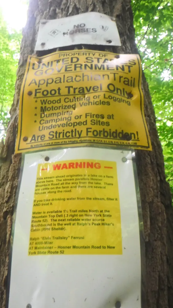
Water quality warning
On the other side of the mountain, at a stream near Hosner Mountain Road, a sign had been posted by the trail maintainer for this section. It was a warning about the quality of the water in the stream. The sign said the water contained runoff from a nearby cattle farm.
Questionable water seemed to be a regular occurrence around here.
At the road I met a hiker named Mark. He told me he started hiking with his son, but later was inspired to do his own hike. He was now hiking from Harpers Ferry to Maine, and was thinking about flip-flopping after that back to Harpers Ferry and continuing south to Georgia.
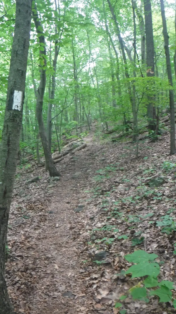
Going over Stormville Mountain
After we departed, the trail once again began to climb, this time over Stormville Mountain.
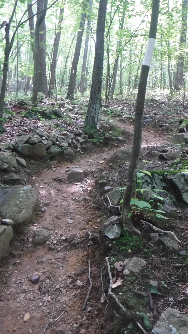
Zig-zag trail
The trail made a zig-zag over the second knob of the mountain before descending to New York Highway 52.
Reaching the road, I turned from the trail to walk along it for about a half mile.

Mountain Top Market
I was headed to Mountain Top Market, which was one of a number of delis that are just off trail in this part of New York.
When I arrived, Stick, Pippi, Mechanic, and a SOBO hiker were already there.
We enjoyed sandwiches, Gatorade and ice cream, but there was no place to sit except against a window sill. It seemed the deli catered to workers who came in for a quick to-go lunch and not to hikers.
The temperature was rising, but at least there was a little bit of shade provided by the building’s short awning.

Stick van Winkle
Later, I caught up to Stick where he was napping against a large oak tree. He looked the picture of New York’s legendary Rip Van Winkle.
I probably should have done what he was doing, because I could have used an opportunity to rest and cool down. As I continued walking, I was mostly just plodding along.
The afternoon’s heat and humidity made me soaked in sweat. My pack was rubbing a chafing rash on my back and digging into my shoulders.

Road walk over Interstate 84
The trail turned onto a road in order to make use of an overpass to cross Interstate 84.
About an hour later I stopped for water at a shelter, and took a few extra minutes to just sit and cool down.

Nuclear Lake
By 7 p.m. the sky was becoming a drab gray. The air was thick with humidity. This enhanced an odd smell coming from a lake that I walked past.
Perhaps its name, Nuclear Lake, was a clue.
The lake and surrounding land were part of a hunting preserve until they were acquired in the 1950s by United Nuclear Corp. The company was licensed to experiment with bomb-grade uranium and plutonium.
That research came to an abrupt end in 1972 when a chemical explosion dispersed radioactive plutonium dust into the lake and forest.
Yes, that’s right. The same forest I walked through.
Researchers from Oak Ridge Associated Universities, which is located in the town where I live, were brought in to conduct a study in the mid-1980s. They determined that cleanup efforts after the explosion were successful. I trust that is true, but I didn’t hang around long and I definitely didn’t stop to filter water.
The gray sky faded to black just as I arrived at Telephone Pioneers Shelter, which was situated on the side of West Mountain.
There were no good flat spots for tents here, which made me more cranky than I already was.
"I've been here for an hour,” Stick said to me as I was looking for a spot to set up. He’s said something like that on other occasions, but for some reason it annoyed me much more this time than it should. It’s not like I didn’t already know I’m not a fast hiker, especially when the weather is hot and humid.
"It's not a race,” I snapped at him. "That information isn't helpful to me.”
I immediately regretted saying that, but didn’t apologize.
Several times through the night I heard a train whistle blow from the valley below. At similar regular intervals, I had to slide my sleep pad up the sloped floor of my tent to keep from rolling into the tent pole.
Well, I'll keep on moving, moving on
Things are bound to be improving these days
One of these days
These days I sit on cornerstones
And count the time in quarter tones to ten, my friend
Don't confront me with my failures
I had not forgotten them
This trail report was published